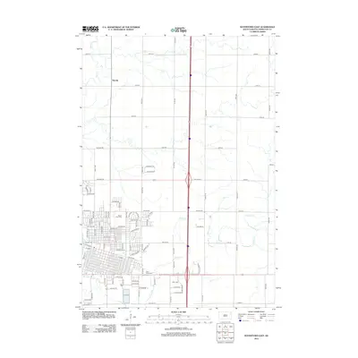
2012 Map of Watertown East
USGS Topo · Published 2012About this map
The Big Sioux River and its tributaries define the transition from urban to agricultural land in eastern South Dakota. This 2012 survey shows the residential expansion of the city eastward, where residential streets like Grandview Dr and Pheasant Ridge Dr meet the grid of section roads. The landscape is dotted with long-established landmarks for genealogists, including Mount Hope Hope Cem in the city's northeast and Saint Marys Cem further south. North of the city, the settlement of Rauville sits along the section lines near the winding path of Mud Cr. The map captures the organized layout of the region, from the major thoroughfare of E Kemp to the rural expanses drained by Willow Cr.
Find a feature on this map
90 named features on this map. Tap any name to fly to it.
Don’t see what you’re looking for? This feature index may not catch every label — zoom into the map to look around manually.
Map Details
Editions of this 2012 Watertown East Map
This is the sole edition of this map. No revisions or reprints were ever made.
Other maps of this area

1953 · Milbank
USGS Topo · 1:250,000

1953 · Watertown
USGS Topo · 1:250,000

1958 · Milbank
USGS Topo · 1:250,000

1958 · Watertown
USGS Topo · 1:250,000

1969 · Watertown West
USGS Topo · 1:24,000

1969 · Pelican Lake
USGS Topo · 1:24,000

1969 · Watertown SE
USGS Topo · 1:24,000

1969 · Watertown East
USGS Topo · 1:24,000

1970 · Kranzburg SW
USGS Topo · 1:24,000

1970 · Kranzburg
USGS Topo · 1:24,000