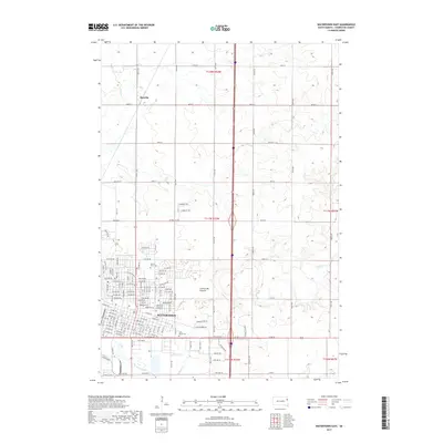
2017 Map of Watertown East
USGS Topo · Published 2017About this map
Watertown serves as the focal point of this Eastern South Dakota survey, situated along the edge of the Coteau des Prairies upland. The city's growth is evident in the residential and technical infrastructure, including the campus of the Lake Area Technical Institute. To the north, the small settlement of Rauville persists near the meandering path of Mud Cr, while the larger drainage of the Big Sioux River shapes the southern landscape near the South Byp. Local genealogy is well-supported by the clear marking of Mount Hope Cem and Saint Marys Cem on the urban periphery. The landscape transitions from the grid-patterned streets of the city to the expansive agricultural section lines of the surrounding townships, where Willow Cr cuts through the prairie toward the town center.
Find a feature on this map
83 named features on this map. Tap any name to fly to it.
Don’t see what you’re looking for? This feature index may not catch every label — zoom into the map to look around manually.
Map Details
Editions of this 2017 Watertown East Map
This is the sole edition of this map. No revisions or reprints were ever made.
Other maps of this area

1953 · Milbank
USGS Topo · 1:250,000

1953 · Watertown
USGS Topo · 1:250,000

1958 · Milbank
USGS Topo · 1:250,000

1958 · Watertown
USGS Topo · 1:250,000

1969 · Watertown West
USGS Topo · 1:24,000

1969 · Pelican Lake
USGS Topo · 1:24,000

1969 · Watertown SE
USGS Topo · 1:24,000

1969 · Watertown East
USGS Topo · 1:24,000

1970 · Kranzburg SW
USGS Topo · 1:24,000

1970 · Kranzburg
USGS Topo · 1:24,000