2021 Map of Watertown East
USGS Topo · Published 2021About this map
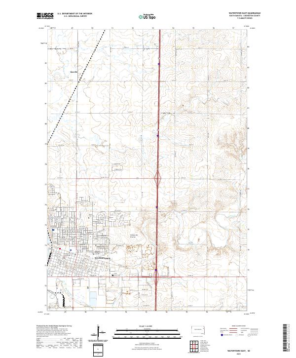
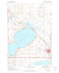
Watertown serves as the focal point of this Eastern South Dakota landscape, situated where the Big Sioux River and Willow Creek converge near the edge of the Coteau des Prairies upland. The street grid of the city reveals a dense network of civic and educational landmarks, including the Codington County Courthouse and the Lake Area Technical Institute. To the north, the small settlement of Rauville sits along the road network that defines the region's agricultural township system. The topography transition from the creek valleys to the higher prairie elevations is clearly marked, providing context for the placement of historic local sites like Mount Hope Cemetery and Saint Marys Cemetery. This layout illustrates the 21st-century development of the county seat as it expands into the surrounding prairie while maintaining its ties to the river valley.
Find a feature on this map
109 named features on this map. Tap any name to fly to it.
Don’t see what you’re looking for? This feature index may not catch every label — zoom into the map to look around manually.
Map Details
Editions of this 2021 Watertown East Map
This is the sole edition of this map. No revisions or reprints were ever made.
Historical Maps of Northwoods Subdivision Through Time
18 maps found
1969 Pelican Lake
Codington County, SD
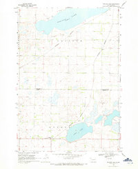
1969 Watertown East
Codington County, SD
1969 Watertown SE
Codington County, SD
1969 Watertown West
Codington County, SD
1970 Kranzburg SW
Codington County, SD
1970 Still Lake
Codington County, SD
1970 Still Lake SE
Codington County, SD
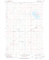
1973 Grover
Codington County, SD
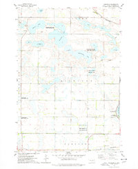
1973 Kampeska
Codington County, SD
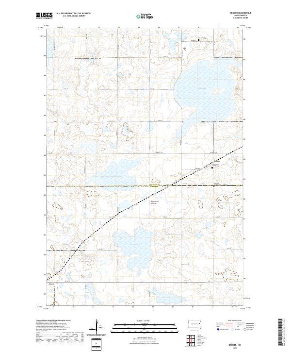
2021 Grover
Codington County, SD
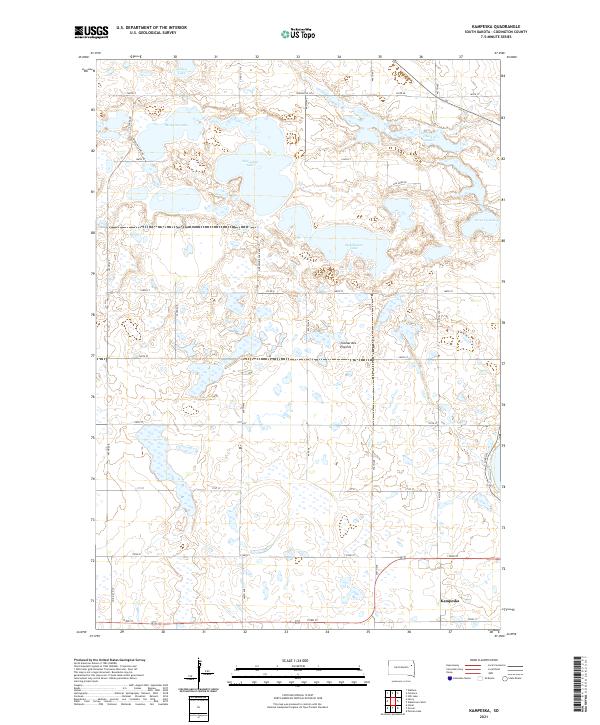
2021 Kampeska
Codington County, SD
2021 Kranzburg SW
Codington County, SD
2021 Pelican Lake
Codington County, SD
2021 Still Lake
Codington County, SD
2021 Still Lake SE
Codington County, SD
2021 Watertown East
Codington County, SD
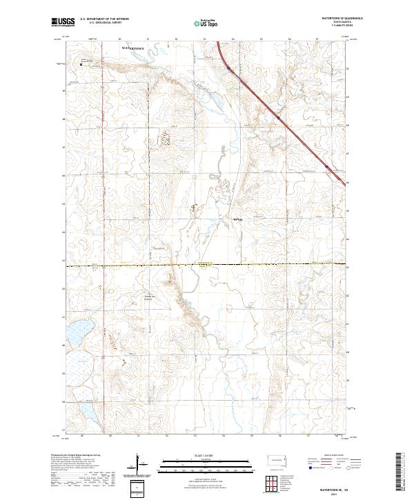
2021 Watertown SE
Codington County, SD
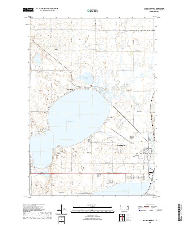
2021 Watertown West
Codington County, SD
Featured Locations
- Rauville Township, SD
- Sheridan Township, SD
- Watertown, SD
- Waverly Township, SD
- Rauville, Rauville Township