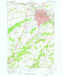
1959 Map of Watertown
USGS Topo · Published 1976About this map
The Black River bisects this mid-century landscape, anchoring the industrial and civic heart of Watertown as it appeared in the late 1950s. The city's concentration of institutions is evident, from the Mercy Hosp and County Fairground to the expansive Thompson Park. Beyond the urban core, the map reveals a rural transition defined by legacy settlements and religious landmarks. To the southwest, Fields Settlement and Talcott Corners mark older crossroads, while the Cupertino Friary sits near the headwaters of Sandy Creek. Genealogists will find a high density of burial sites documented, including the North Watertown Cemetery, Brookside Cemetery, and the Bnai Israel Cem, alongside smaller family-named plots like Graves Hill Cem. The transportation network is in flux, showing the New York Central railroad lines and the emerging Stateway.
Find a feature on this map
60 named features on this map. Tap any name to fly to it.
Don’t see what you’re looking for? This feature index may not catch every label — zoom into the map to look around manually.
Map Details
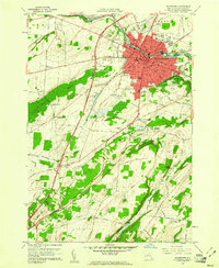
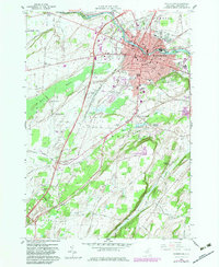
Editions of this 1959 Watertown Map
3 editions found
Other maps of this area

1893 · Sackets Harbor
USGS Topo · 1:62,500

1895 · Sacketts Harbor
USGS Topo · 1:62,500

1895 · Watertown
USGS Topo · 1:62,500

1898 · Watertown
USGS Topo · 1:62,500

1900 · Clayton
USGS Topo · 1:62,500

1903 · Clayton
USGS Topo · 1:62,500

1903 · Theresa
USGS Topo · 1:62,500

1908 · Watertown
USGS Topo · 1:62,500

1909 · Watertown
USGS Topo · 1:62,500
1943 · Sackets Harbor
USGS Topo · 1:31,680