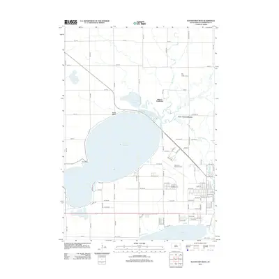
2012 Map of Watertown West
USGS Topo · Published 2012About this map
Lake Kampeska dominates this landscape northwest of the city center, its shores lined with residential developments including North Shore and Williams Subdivision. The map shows a clear transition between the recreational and residential use of the lakefront and the industrial and transport infrastructure to the east. Watertown Regional Airport is a primary landmark, featuring an aviation-themed street grid with names like Piper Ave, Cessna St, and Boeing Ave.
Find a feature on this map
55 named features on this map. Tap any name to fly to it.
Don’t see what you’re looking for? This feature index may not catch every label — zoom into the map to look around manually.
Map Details
Editions of this 2012 Watertown West Map
This is the sole edition of this map. No revisions or reprints were ever made.
Other maps of this area

1953 · Milbank
USGS Topo · 1:250,000

1953 · Watertown
USGS Topo · 1:250,000

1958 · Milbank
USGS Topo · 1:250,000

1958 · Watertown
USGS Topo · 1:250,000

1969 · Watertown West
USGS Topo · 1:24,000

1969 · Pelican Lake
USGS Topo · 1:24,000

1969 · Watertown SE
USGS Topo · 1:24,000

1969 · Watertown East
USGS Topo · 1:24,000

1970 · Still Lake SE
USGS Topo · 1:24,000

1970 · Still Lake
USGS Topo · 1:24,000