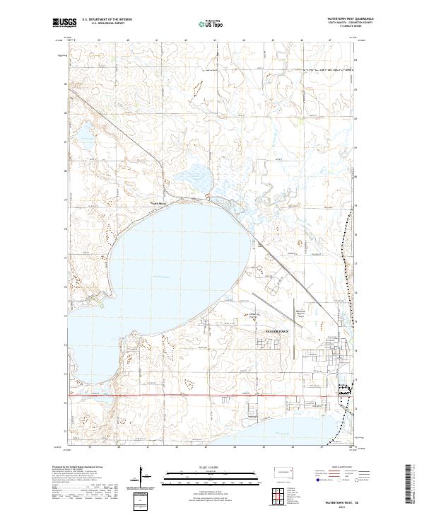
2021 Map of Watertown West
USGS Topo · Published 2021About this map
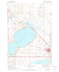
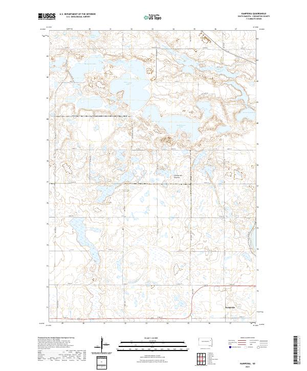
Lake Kampeska dominates this portion of the Coteau des Prairies, a vast plateau that shapes the hydrology of eastern South Dakota. Along the lake’s northern edge, the settlement of North Shore provides a recreational contrast to the industrial and municipal expansion of Watertown further south and east. The landscape is defined by the glacial legacy of the region, where numerous basins like Cottonwood Slough and Smith Lake punctuate the grid of section lines and county roads.
Find a feature on this map
53 named features on this map. Tap any name to fly to it.
Don’t see what you’re looking for? This feature index may not catch every label — zoom into the map to look around manually.
Map Details
Editions of this 2021 Watertown West Map
This is the sole edition of this map. No revisions or reprints were ever made.
Historical Maps of Elmira Township Through Time
18 maps found
1969 Pelican Lake
Codington County, SD
1969 Watertown East
Codington County, SD
1969 Watertown SE
Codington County, SD
1969 Watertown West
Codington County, SD
1970 Kranzburg SW
Codington County, SD
1970 Still Lake
Codington County, SD
1970 Still Lake SE
Codington County, SD
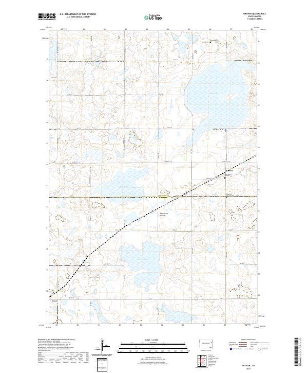
1973 Grover
Codington County, SD
1973 Kampeska
Codington County, SD
2021 Grover
Codington County, SD
2021 Kampeska
Codington County, SD
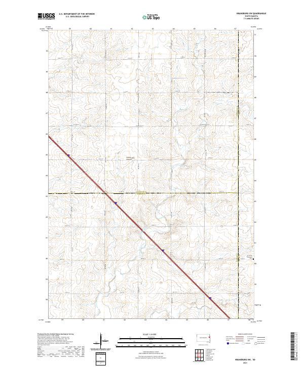
2021 Kranzburg SW
Codington County, SD
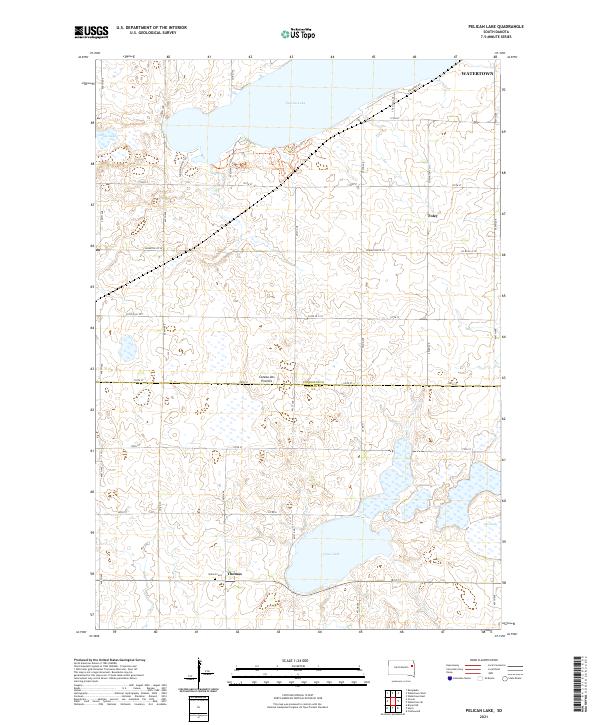
2021 Pelican Lake
Codington County, SD
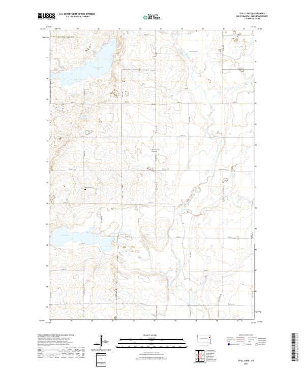
2021 Still Lake
Codington County, SD
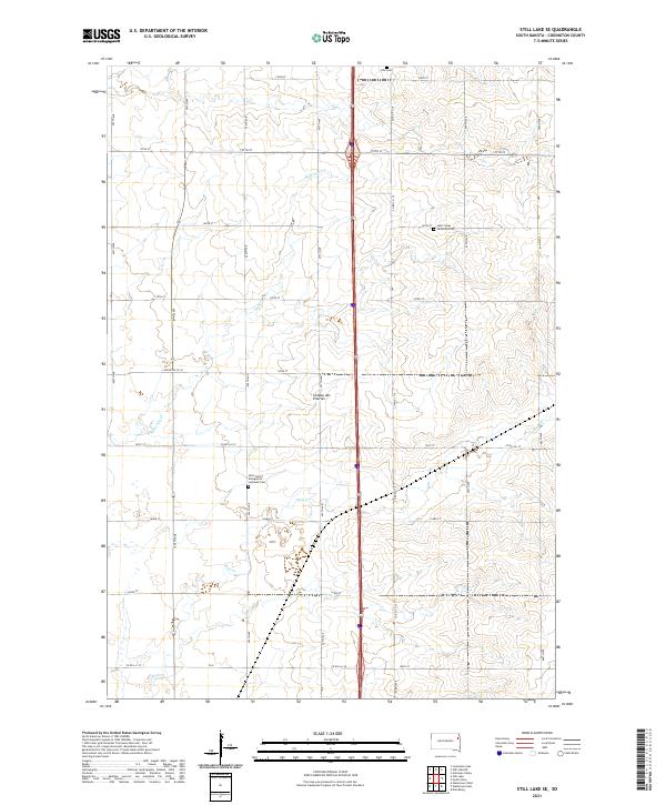
2021 Still Lake SE
Codington County, SD
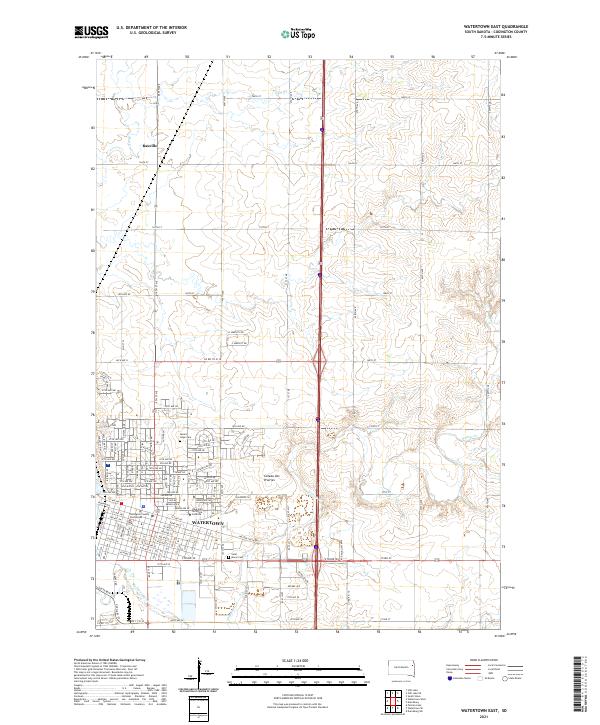
2021 Watertown East
Codington County, SD
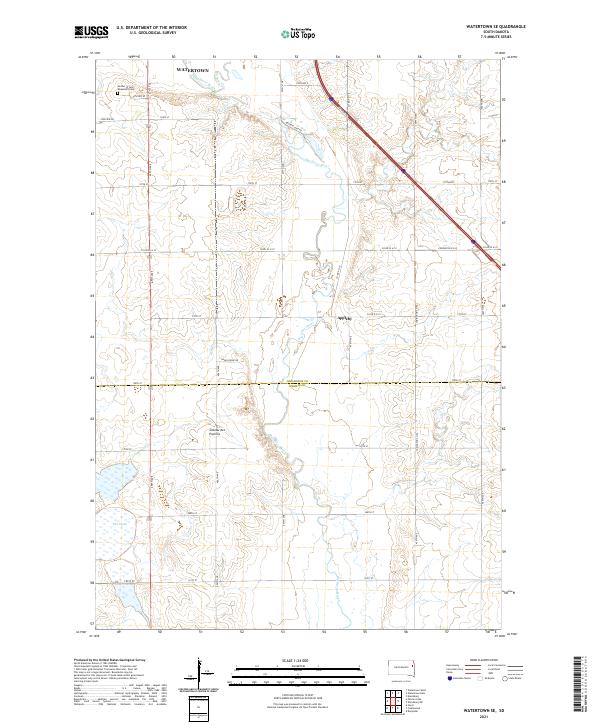
2021 Watertown SE
Codington County, SD
2021 Watertown West
Codington County, SD