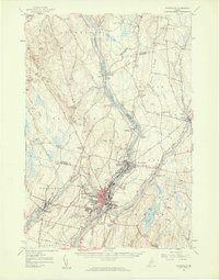
1957 Map of Waterville
USGS Topo · Published 1959About this map
The Kennebec River corridor defines this mid-century portrait of Central Maine, where industrial centers and academic institutions anchor the landscape. In Waterville, the campus of Colby College sits prominently on Mayflower Hill, while the Maine Central Railroad tracks follow the river's edge, connecting the mill towns of Fairfield, Winslow, and Benton Station. The map illustrates a transitional era of transportation and social infrastructure, featuring both the Waterville Airport (Lafleur Field) and the Central Maine Sanatorium.
Find a feature on this map
93 named features on this map. Tap any name to fly to it.
Don’t see what you’re looking for? This feature index may not catch every label — zoom into the map to look around manually.
Map Details
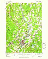
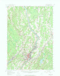
Editions of this 1957 Waterville Map
3 editions found
Other maps of this area

1892 · Waterville
USGS Topo · 1:62,500

1892 · Augusta
USGS Topo · 1:62,500

1893 · Vassalboro
USGS Topo · 1:62,500

1894 · Norridgewock
USGS Topo · 1:62,500

1898 · Norridgewock
USGS Topo · 1:62,500

1898 · Vassalboro
USGS Topo · 1:62,500

1904 · Anson
USGS Topo · 1:62,500

1913 · Skowhegan
USGS Topo · 1:62,500

1916 · Liberty
USGS Topo · 1:62,500

1926 · Burnham
USGS Topo · 1:62,500