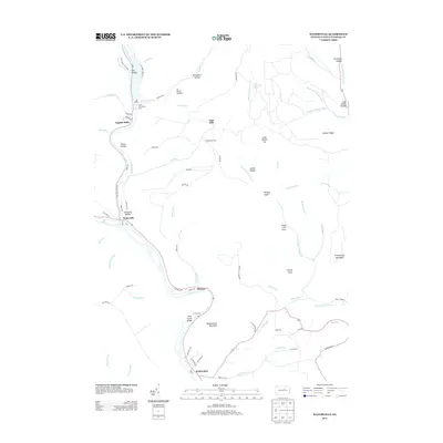
2013 Map of Waterville
USGS Topo · Published 2013About this map
Pine Creek carves a significant course through this portion of Lycoming County, creating the dramatic Pine Creek Gorge as it winds past the small communities of Waterville and Ramsey. This 2013 survey illustrates a landscape deeply shaped by both its natural hydrology and a history of forest management, evidenced by the CCC Camp and Little Pine Picnic Area along Little Pine Creek.
Find a feature on this map
86 named features on this map. Tap any name to fly to it.
Don’t see what you’re looking for? This feature index may not catch every label — zoom into the map to look around manually.
Map Details
Editions of this 2013 Waterville Map
This is the sole edition of this map. No revisions or reprints were ever made.
Other maps of this area

1921 · Williamsport
USGS Topo · 1:48,000

1921 · Trout Run
USGS Topo · 1:62,500

1921 · Lock Haven
USGS Topo · 1:62,500

1923 · Lock Haven
USGS Topo · 1:62,500

1923 · Trout Run
USGS Topo · 1:62,500

1923 · Williamsport
USGS Topo · 1:62,500

1935 · Waterville
USGS Topo · 1:24,000

1937 · Waterville
USGS Topo · 1:48,000

1943 · Waterville
USGS Topo · 1:62,500

1944 · Trout Run
USGS Topo · 1:62,500
Featured Places
- Mifflin Township, PA
- Tombs Run, Watson Township
- English Mills, Cummings Township
- Ramsey, Cummings Township
- Cogan House Township, PA