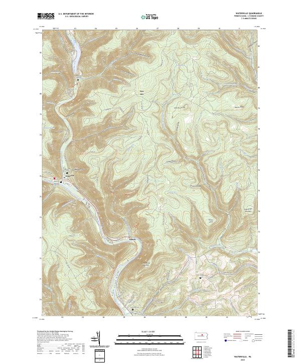
2023 Map of Waterville
USGS Topo · Published 2023About this map
Waterville sits at the junction of Little Pine Creek and Pine Creek, serving as a central point for this deeply carved Lycoming County landscape. The topography is defined by the Pine Creek Gorge, where steep ridges like Houselander Mountain and Puterbaugh Mountain tower over the narrow valley floors. Transportation in this era is geared toward recreation and conservation, evidenced by the Pine Creek Rail Trl and Pine Creek Water Trl following the winding river corridor. Genealogy researchers will find several well-preserved burial sites throughout the hollows, including the Waterville Methodist Episcopal Cem and the more remote Old English Run Cem near the mouth of English Run. The map also details numerous high-elevation features like Henson Ridge and Little Round Top, alongside the many "runs" and "hollows" that feed the primary watershed.
Find a feature on this map
88 named features on this map. Tap any name to fly to it.
Don’t see what you’re looking for? This feature index may not catch every label — zoom into the map to look around manually.
Map Details
Editions of this 2023 Waterville Map
This is the sole edition of this map. No revisions or reprints were ever made.
Other maps of this area

1921 · Williamsport
USGS Topo · 1:48,000

1921 · Trout Run
USGS Topo · 1:62,500

1921 · Lock Haven
USGS Topo · 1:62,500

1923 · Lock Haven
USGS Topo · 1:62,500

1923 · Trout Run
USGS Topo · 1:62,500

1923 · Williamsport
USGS Topo · 1:62,500

1935 · Waterville
USGS Topo · 1:24,000

1937 · Waterville
USGS Topo · 1:48,000

1943 · Waterville
USGS Topo · 1:62,500

1944 · Trout Run
USGS Topo · 1:62,500
Featured Places
- Watson Township, PA
- Cummings Township, PA
- Mifflin Township, PA
- Tombs Run, Watson Township
- English Mills, Cummings Township