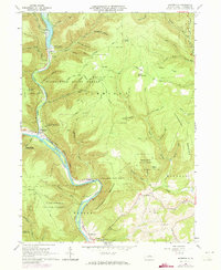
1935 Map of Waterville
USGS Topo · Published 1973About this map
Tiadaghton State Forest dominates the landscape of north-central Pennsylvania, where the steep terrain is carved by the winding Pine Creek and its sharp Gorge. The 1973 revisions to this area reveal the corridor of the Penn Central railroad following the water gap through Waterville and south toward Ramsey. This map illustrates the intersection of recreation and industry, showing several quarries alongside the Little Pine Picnic Area and the Little Pine Dam Spillway Elev 779.
Find a feature on this map
69 named features on this map. Tap any name to fly to it.
Don’t see what you’re looking for? This feature index may not catch every label — zoom into the map to look around manually.
Map Details
Editions of this 1935 Waterville Map
This is the sole edition of this map. No revisions or reprints were ever made.
Other maps of this area
1921 · Williamsport
USGS Topo · 1:48,000
1921 · Trout Run
USGS Topo · 1:62,500
1921 · Lock Haven
USGS Topo · 1:62,500
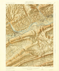
1923 · Lock Haven
USGS Topo · 1:62,500
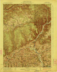
1923 · Trout Run
USGS Topo · 1:62,500
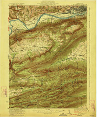
1923 · Williamsport
USGS Topo · 1:62,500
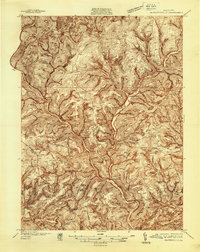
1937 · Waterville
USGS Topo · 1:48,000
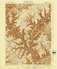
1943 · Waterville
USGS Topo · 1:62,500
1944 · Trout Run
USGS Topo · 1:62,500
1944 · Williamsport
USGS Topo · 1:62,500
Featured Places
- Mifflin Township, PA
- Cogan House Township, PA
- Watson Township, PA
- Ramsey, Cummings Township
- English Mills, Cummings Township