
1943 Map of Waterville
USGS Topo · Published 1943About this map
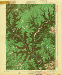
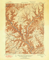
Pine Creek carves a deep valley through Lycoming County, defining the settlement patterns of the early 1940s. Small mountain communities and stops along the New York Central RR like Cammal and Jersey Mills cling to the narrow riverbanks, while high-elevation trails such as the Bark Cabin Trail and Pasto Trail connect remote ridges. The map reveals an era of established rural infrastructure, featuring numerous family and community landmarks including Okome Cem, Bluestone Cem, and several country churches like Mt Pleasant Ch.
Find a feature on this map
177 named features on this map. Tap any name to fly to it.
Don’t see what you’re looking for? This feature index may not catch every label — zoom into the map to look around manually.
Map Details
Editions of this 1943 Waterville Map
3 editions found
Other maps of this area

1921 · Howard
USGS Topo · 1:48,000

1921 · Williamsport
USGS Topo · 1:48,000

1921 · Trout Run
USGS Topo · 1:62,500

1921 · Lock Haven
USGS Topo · 1:62,500

1923 · Howard
USGS Topo · 1:62,500

1923 · Lock Haven
USGS Topo · 1:62,500

1923 · Trout Run
USGS Topo · 1:62,500

1923 · Williamsport
USGS Topo · 1:62,500

1925 · Blossburg
USGS Topo · 1:62,500

1927 · Blossburg
USGS Topo · 1:62,500
Featured Places
- Gallagher Township, PA
- Brookside, Cogan House Township
- Mifflin Township, PA
- Cogan House Township, PA
- Carsontown, Pine Township