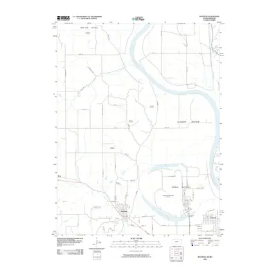
2009 Map of Wathena
USGS Topo · Published 2009About this map
The Missouri River defines the landscape of this Missouri-Kansas border region, carving out fertile floodplains known as Burr Oak Bottom, Gladden Bottom, and French Bottom. These lowlands contrast with the developed settlements of Wathena and Elwood, which sit across the river from the prominent Rosecrans Memorial Airport. The map reveals a high concentration of small, family-named burial grounds, including Columbus Cemetery, Jackson Cemetery, and Moskau Cemetery, reflecting the area's early agricultural settlement patterns.
Find a feature on this map
74 named features on this map. Tap any name to fly to it.
Don’t see what you’re looking for? This feature index may not catch every label — zoom into the map to look around manually.
Map Details
Editions of this 2009 Wathena Map
This is the sole edition of this map. No revisions or reprints were ever made.
Other maps of this area

1885 · Atchison
USGS Topo · 1:125,000

1888 · Atchison
USGS Topo · 1:125,000

1893 · Atchison
USGS Topo · 1:125,000

1924 · St. Joseph
USGS Topo · 1:62,500

1926 · Atchison
USGS Topo · 1:62,500

1926 · Saint Joseph
USGS Topo · 1:62,500

1926 · Oregon
USGS Topo · 1:62,500

1927 · Dearborn
USGS Topo · 1:62,500

1950 · Kansas City
USGS Topo · 1:250,000

1954 · Kansas City
USGS Topo · 1:250,000