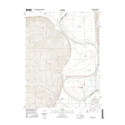
2015 Map of Wathena
USGS Topo · Published 2015About this map
The Missouri River carves a complex boundary through this landscape, separating Kansas and Missouri while defining the fertile lowlands of French Bottom, Gladden Bottom, and Burr Oak Bottom. In this riverside environment, the settlement of Wathena serves as a local hub, situated just west of the oxbow waters of Browning Lake. The surrounding uplands are marked by a significant concentration of local burial grounds, including Bellemont Cem, Mount Calvary Cem, Moskau Cem, and Tambor Cem, which offer valuable points of reference for genealogical research in Doniphan County.
Find a feature on this map
86 named features on this map. Tap any name to fly to it.
Don’t see what you’re looking for? This feature index may not catch every label — zoom into the map to look around manually.
Map Details
Editions of this 2015 Wathena Map
This is the sole edition of this map. No revisions or reprints were ever made.
Other maps of this area

1885 · Atchison
USGS Topo · 1:125,000

1888 · Atchison
USGS Topo · 1:125,000

1893 · Atchison
USGS Topo · 1:125,000

1924 · St. Joseph
USGS Topo · 1:62,500

1926 · Atchison
USGS Topo · 1:62,500

1926 · Saint Joseph
USGS Topo · 1:62,500

1926 · Oregon
USGS Topo · 1:62,500

1927 · Dearborn
USGS Topo · 1:62,500

1950 · Kansas City
USGS Topo · 1:250,000

1954 · Kansas City
USGS Topo · 1:250,000