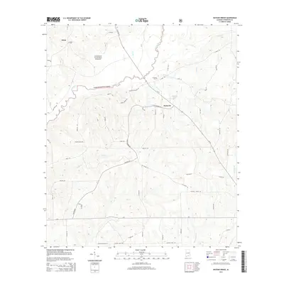
2014 Map of Watkins Bridge
USGS Topo · Published 2014About this map
Conecuh National Forest dominates much of this southern Alabama landscape, where the Yellow River and its numerous tributaries create a dense network of waterways. Small settlements and rural homesteads are linked by a mix of state routes and primitive forest roads, such as Whiskey Branch Rd and Old Farm Rd. The presence of the Shiloh Cem near the community of Shiloh and the N Creek Cem further east provides clear points of interest for those researching local family histories in Covington County.
Find a feature on this map
52 named features on this map. Tap any name to fly to it.
Don’t see what you’re looking for? This feature index may not catch every label — zoom into the map to look around manually.
Map Details
Editions of this 2014 Watkins Bridge Map
This is the sole edition of this map. No revisions or reprints were ever made.
Other maps of this area

1949 · Crestview
USGS Topo · 1:62,500

1949 · Laurel Hill
USGS Topo · 1:62,500

1950 · Laurel Hill
USGS Topo · 1:62,500

1951 · Crestview
USGS Topo · 1:62,500

1953 · Andalusia
USGS Topo · 1:250,000

1957 · Andalusia
USGS Topo · 1:250,000

1957 · Pensacola
USGS Topo · 1:250,000

1959 · Pensacola
USGS Topo · 1:250,000

1960 · Pensacola
USGS Topo · 1:250,000

1971 · Carolina
USGS Topo · 1:24,000