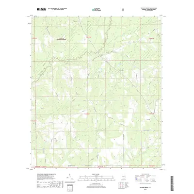
2018 Map of Watkins Bridge
USGS Topo · Published 2018About this map
Conecuh National Forest dominates the northwestern portion of this landscape, where the Yellow River and its tributaries carve a network of drainage across the Alabama terrain. The settlement of Huckaville sits at a junction of rural routes, surrounded by family-named landmarks and water features like Huckabaa Pond. The area's social and historical geography is anchored by local burial grounds, including Shiloh Cem in the north and North Creek Cem near the river. This 2018 survey reveals a landscape of dispersed rural residences and timberlands, connected by named tracks such as Shiloh Cemetery Rd and Pete McGee Rd. The namesake Watkins Bridge serves as a critical crossing point over the Yellow River, facilitating movement between the forest lands and the farming communities to the south.
Find a feature on this map
64 named features on this map. Tap any name to fly to it.
Don’t see what you’re looking for? This feature index may not catch every label — zoom into the map to look around manually.
Map Details
Editions of this 2018 Watkins Bridge Map
This is the sole edition of this map. No revisions or reprints were ever made.
Other maps of this area

1949 · Crestview
USGS Topo · 1:62,500

1949 · Laurel Hill
USGS Topo · 1:62,500

1950 · Laurel Hill
USGS Topo · 1:62,500

1951 · Crestview
USGS Topo · 1:62,500

1953 · Andalusia
USGS Topo · 1:250,000

1957 · Andalusia
USGS Topo · 1:250,000

1957 · Pensacola
USGS Topo · 1:250,000

1959 · Pensacola
USGS Topo · 1:250,000

1960 · Pensacola
USGS Topo · 1:250,000

1971 · Carolina
USGS Topo · 1:24,000