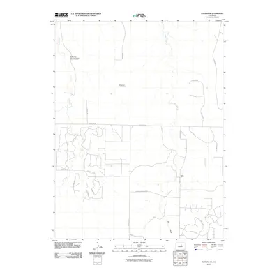
2010 Map of Watkins SE
USGS Topo · Published 2010About this map
Buckley Field Manganese Deposit Number One Mine and the Denver Basin Manganese Deposits Mine mark a landscape defined by mineral extraction and rural development in the Colorado plains. This 2010 survey of Arapahoe County captures the area as it evolved from traditional ranching lands, like those near Running Creek Ranch Rd, into more structured residential enclaves. Water drainage patterns are clearly defined by the paths of Box Elder Creek, Coal Creek, and Hay Gulch, which cross the high-plains terrain.
Find a feature on this map
30 named features on this map. Tap any name to fly to it.
Don’t see what you’re looking for? This feature index may not catch every label — zoom into the map to look around manually.
Map Details
Editions of this 2010 Watkins SE Map
This is the sole edition of this map. No revisions or reprints were ever made.
Other maps of this area

1890 · East Denver
USGS Topo · 1:125,000

1894 · Castle Rock
USGS Topo · 1:125,000

1913 · Castle Rock
USGS Topo · 1:125,000

1939 · Coal Creek
USGS Topo · 1:24,000

1939 · Elizabeth
USGS Topo · 1:62,500

1940 · Piney Creek
USGS Topo · 1:24,000

1942 · Piney Creek
USGS Topo · 1:31,680

1942 · Coal Creek
USGS Topo · 1:31,680

1945 · Elizabeth
USGS Topo · 1:62,500

1953 · Denver
USGS Topo · 1:250,000