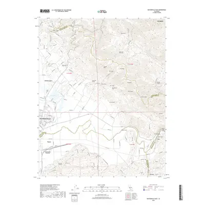
2018 Map of Watsonville East
USGS Topo · Published 2018About this map
Pajaro Valley serves as the focal point of this coastal California study, where the alluvial floor meets the rising peaks of the Santa Cruz Mountains. The landscape is defined by the winding course of the Pajaro River, which carves through the Pajaro Gap near Logan, a critical geographic bottleneck that has historically dictated transportation routes between the coast and the inland valleys. The survey captures the complex intersection of multiple county lines, where Santa Cruz, Monterey, San Benito, and Santa Clara counties converge among the ridges.
Find a feature on this map
137 named features on this map. Tap any name to fly to it.
Don’t see what you’re looking for? This feature index may not catch every label — zoom into the map to look around manually.
Map Details
Editions of this 2018 Watsonville East Map
This is the sole edition of this map. No revisions or reprints were ever made.
Other maps of this area

1912 · Capitola
USGS Topo · 1:62,500

1914 · Capitola
USGS Topo · 1:62,500

1915 · San Juan Bautista
USGS Topo · 1:48,000

1916 · New Almaden
USGS Topo · 1:48,000

1917 · Morgan Hill
USGS Topo · 1:62,500

1917 · San Juan Bautista
USGS Topo · 1:62,500

1919 · New Almaden
USGS Topo · 1:62,500

1939 · Morgan Hill
USGS Topo · 1:62,500

1939 · San Juan Bautista
USGS Topo · 1:62,500

1940 · San Juan Bautista
USGS Topo · 1:62,500