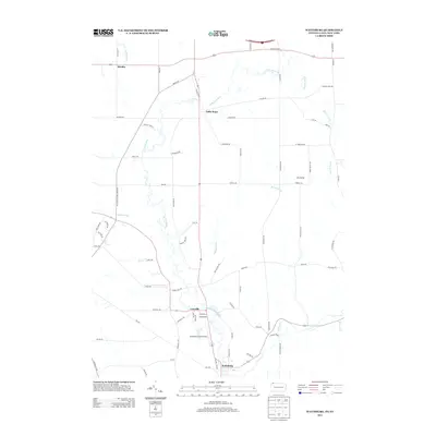
2013 Map of Wattsburg
USGS Topo · Published 2013About this map
The W Br French Cr and its many tributaries, including Townley Run and Bailey Brook, dictate the rural character of this border region. Settlements like Wattsburg and Lowville anchor the southern portion of the sheet, while smaller crossroads such as Little Hope, Hornby, and Ashton Corners are scattered along a network of local roads including Old Route 89 and Kimball Rd. The terrain is marked by distinctive glacial features, explicitly labeled as Drumlins, which influence the winding paths of Townline Rd and Macedonia Rd. Aviation history is noted by the presence of Strawberry Acres Airport, situated just north of the state line. This survey provides a clear view of the agricultural and hydraulic landscape of the area as it existed in the early twenty-first century.
Find a feature on this map
75 named features on this map. Tap any name to fly to it.
Don’t see what you’re looking for? This feature index may not catch every label — zoom into the map to look around manually.
Map Details
Editions of this 2013 Wattsburg Map
This is the sole edition of this map. No revisions or reprints were ever made.
Other maps of this area

1905 · Clymer
USGS Topo · 1:62,500

1913 · North East
USGS Topo · 1:62,500

1915 · North East
USGS Topo · 1:62,500

1929 · Corry
USGS Topo · 1:48,000

1929 · Union City
USGS Topo · 1:62,500

1932 · Corry
USGS Topo · 1:62,500

1932 · Union City
USGS Topo · 1:62,500

1939 · Clymer
USGS Topo · 1:62,500

1941 · Clymer
USGS Topo · 1:62,500

1943 · North East
USGS Topo · 1:62,500