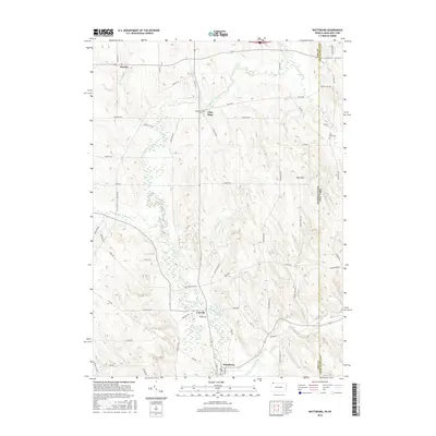
2016 Map of Wattsburg
USGS Topo · Published 2016About this map
The West Branch French Creek carves a winding path through this corner of the Pennsylvania and New York borderlands, anchoring a landscape defined by glacial activity. The presence of Drumlins in the eastern section reveals the geological legacy of the region, while small crossroads communities like Lowville, Little Hope, and Hornby dot the rural interior. Near the southern edge of the sheet, Wattsburg sits at a strategic point near the confluence of the larger French Creek system. This 2016 survey documents the enduring agricultural and residential patterns of Erie and Chautauqua counties, preserved through local family-named landmarks and cemeteries such as the Greenfield Cem and West Mina Cem. The network of backroads, including Townley Run Rd and Phillipsville Colt Station Rd, connects the scattered farmsteads across a terrain drained by Alder Brook and Bailey Brook.
Find a feature on this map
61 named features on this map. Tap any name to fly to it.
Don’t see what you’re looking for? This feature index may not catch every label — zoom into the map to look around manually.
Map Details
Editions of this 2016 Wattsburg Map
This is the sole edition of this map. No revisions or reprints were ever made.
Other maps of this area

1905 · Clymer
USGS Topo · 1:62,500

1913 · North East
USGS Topo · 1:62,500

1915 · North East
USGS Topo · 1:62,500

1929 · Corry
USGS Topo · 1:48,000

1929 · Union City
USGS Topo · 1:62,500

1932 · Corry
USGS Topo · 1:62,500

1932 · Union City
USGS Topo · 1:62,500

1939 · Clymer
USGS Topo · 1:62,500

1941 · Clymer
USGS Topo · 1:62,500

1943 · North East
USGS Topo · 1:62,500