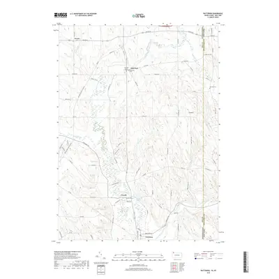
2019 Map of Wattsburg
USGS Topo · Published 2019About this map
Wattsburg and the surrounding borderlands of Erie County, Pennsylvania, and Chautauqua County, New York, are defined by a complex drainage system feeding the French Creek watershed. The terrain is notably shaped by prehistoric glacial activity, evidenced by the cluster of Drumlins located near Macedonia RD. This 2019 survey documents the rural character of the region, where small historic settlements like Lowville and Little Hope persist alongside family-named landmarks. Genealogists will find several burial sites preserved across the landscape, including the Old Miller Burial Ground and the Greenfield Cem. The hydrography of the area is particularly intricate, with the West Branch French Creek and its many tributaries, such as Townley Run, Alder Brook, and Bailey Brook, carving through the low hills and providing the primary geographical framework for local road networks like Wattsburg RD and Station RD.
Find a feature on this map
72 named features on this map. Tap any name to fly to it.
Don’t see what you’re looking for? This feature index may not catch every label — zoom into the map to look around manually.
Map Details
Editions of this 2019 Wattsburg Map
This is the sole edition of this map. No revisions or reprints were ever made.
Other maps of this area

1905 · Clymer
USGS Topo · 1:62,500

1913 · North East
USGS Topo · 1:62,500

1915 · North East
USGS Topo · 1:62,500

1929 · Corry
USGS Topo · 1:48,000

1929 · Union City
USGS Topo · 1:62,500

1932 · Corry
USGS Topo · 1:62,500

1932 · Union City
USGS Topo · 1:62,500

1939 · Clymer
USGS Topo · 1:62,500

1941 · Clymer
USGS Topo · 1:62,500

1943 · North East
USGS Topo · 1:62,500