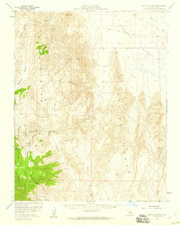
1958 Map of Waucoba Spring
USGS Topo · Published 1959About this map
Inyo National Forest dominates the western edge of this 1958 topographic survey, where high-altitude desert plateaus like Joshua Flats and Whippoorwill Flat transition into deep geological basins. The map reveals an active mining landscape during the late 1950s, with operations such as the Nikolaus Eureka Mine, Loretta Mine, and Opal Mine scattered across the high ridges. In the east, the vast expanse of the Eureka Valley features a massive field of Sand Dunes, illustrating the dramatic topographical shifts characteristic of this part of Inyo County. A network of primitive transit, including a designated Jeep Trail through Jackass Flats, connects these remote industrial sites to water sources like Waucoba Spring. The inclusion of survey markers such as VABM 6789 Zinc and VABM 8367 Brass highlights the precision of mid-century desert mapping.
Find a feature on this map
23 named features on this map. Tap any name to fly to it.
Don’t see what you’re looking for? This feature index may not catch every label — zoom into the map to look around manually.
Map Details
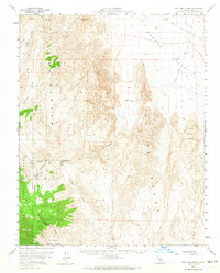
Editions of this 1958 Waucoba Spring Map
2 editions found
Other maps of this area

1907 · Mt. Whitney
USGS Topo · 1:125,000

1908 · Lida
USGS Topo · 1:250,000

1908 · Ballarat
USGS Topo · 1:250,000

1913 · Bishop
USGS Topo · 1:125,000

1913 · Lida
USGS Topo · 1:250,000

1913 · Ballarat
USGS Topo · 1:250,000

1919 · Mt. Whitney
USGS Topo · 1:125,000

1937 · Mt. Whitney
USGS Topo · 1:125,000

1947 · Mariposa
USGS Topo · 1:250,000

1948 · Death Valley
USGS Topo · 1:250,000