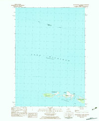
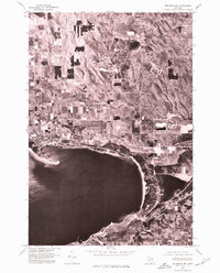
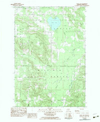
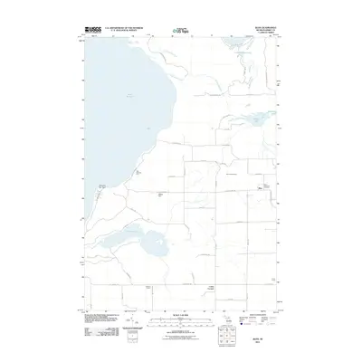
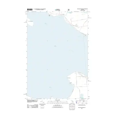
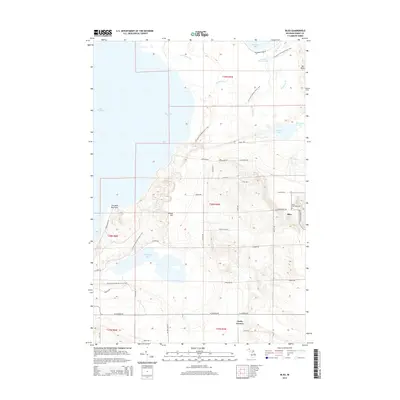
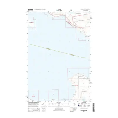
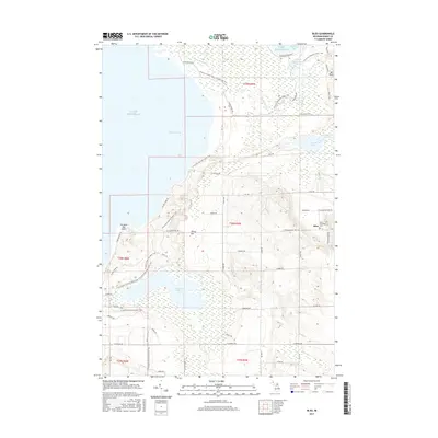
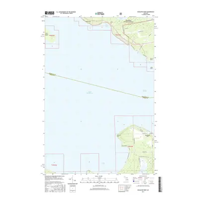
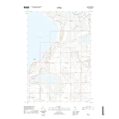
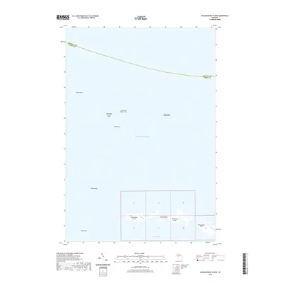
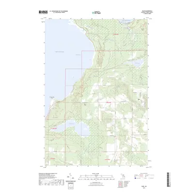
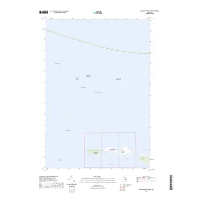
1982 Map of Waugoshance Island
USGS Topo · Published 1983About this map
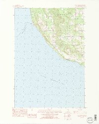
Wilderness State Park defines the terrestrial portion of this northern Michigan survey, encompassing a chain of landforms reaching into the northern reaches of Lake Michigan. The map details the isolated geography of Waugoshance Island and Temperance Island, which sit just off the tip of Waugoshance Point. These islands and the surrounding waters of Sturgeon Bay have long been critical for navigation in the Straits area, a fact underscored by the presence of an Abandoned Light House located in the open water well northwest of the landmasses.
Find a feature on this map
8 named features on this map. Tap any name to fly to it.
Don’t see what you’re looking for? This feature index may not catch every label — zoom into the map to look around manually.
Map Details
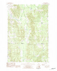
Editions of this 1982 Waugoshance Island Map
This is the sole edition of this map. No revisions or reprints were ever made.
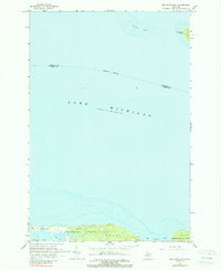
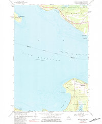
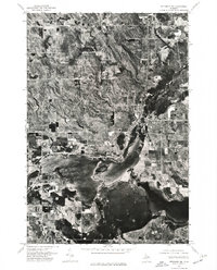
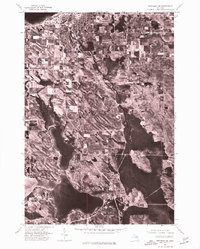
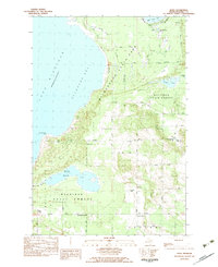
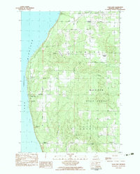
Historical Maps of Bliss Township Through Time
51 maps found
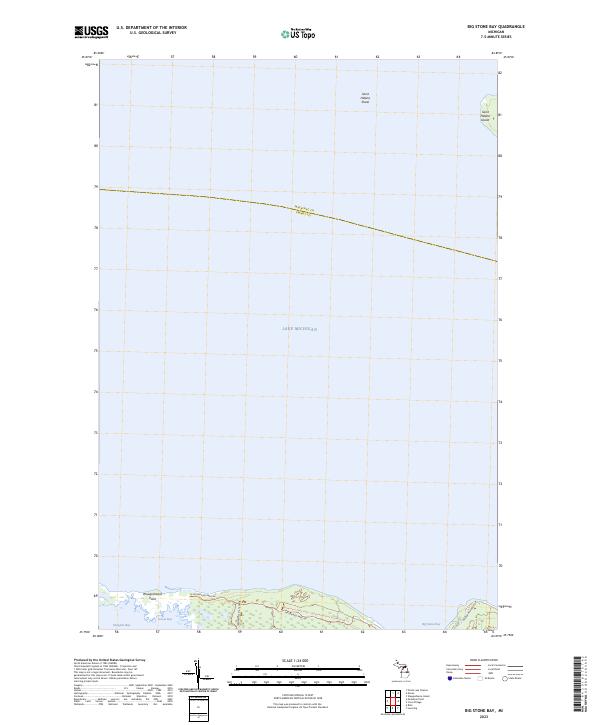
1964 Big Stone Bay
Emmet County, MI
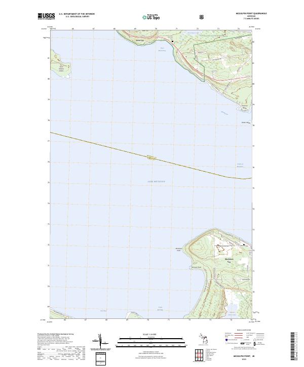
1964 McGulpin Point
Emmet County, MI
1975 Petoskey NE
Emmet County, MI
1975 Petoskey NW
Emmet County, MI
1975 Petoskey SW
Emmet County, MI
1982 Bliss
Emmet County, MI
1982 Good Hart
Emmet County, MI
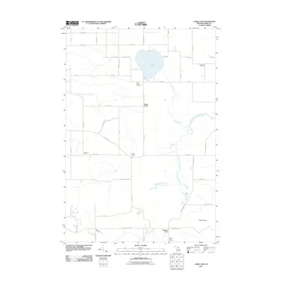
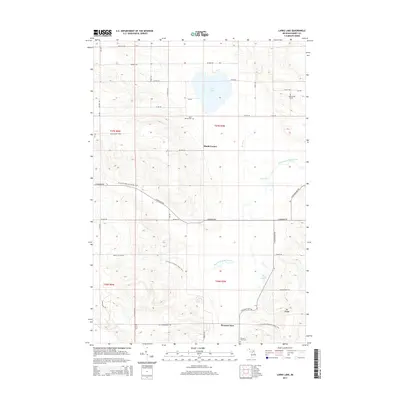
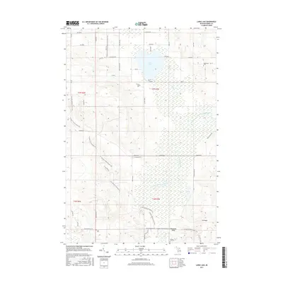
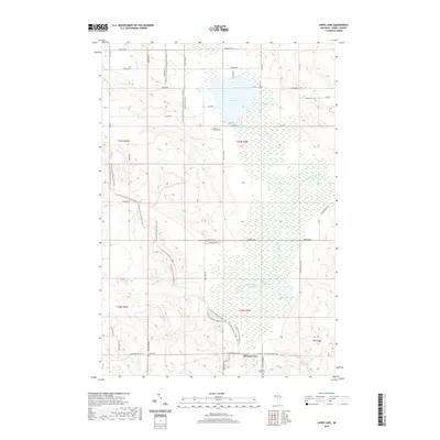
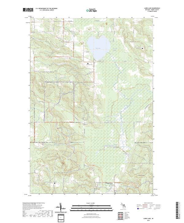
1982 Larks Lake
Emmet County, MI
1982 Waugoshance Island
Emmet County, MI
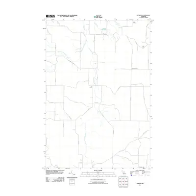
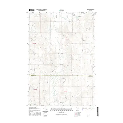
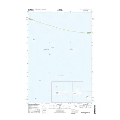
1983 Epsilon
Emmet County, MI
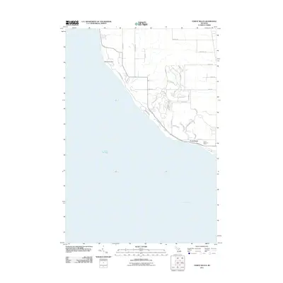
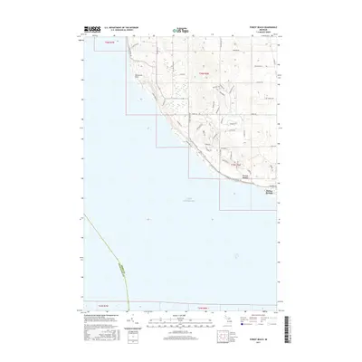
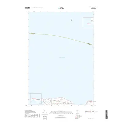
1983 Forest Beach
Emmet County, MI
2011 Big Stone Bay
Emmet County, MI
2011 Bliss
Emmet County, MI
2011 Epsilon
Emmet County, MI
2011 Forest Beach
Emmet County, MI
2011 Good Hart
Emmet County, MI
2011 Larks Lake
Emmet County, MI
2011 McGulpin Point
Emmet County, MI
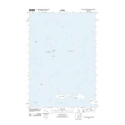
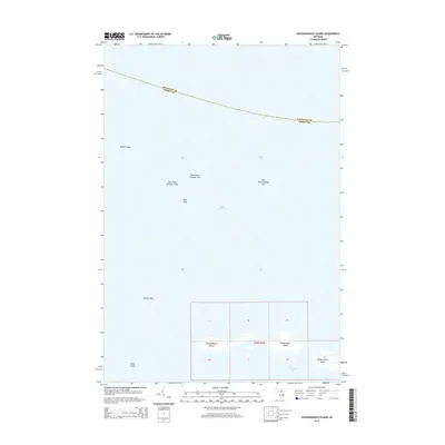
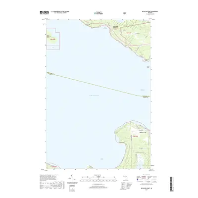
2011 Waugoshance Island
Emmet County, MI
2014 Big Stone Bay
Emmet County, MI
2014 Bliss
Emmet County, MI
2014 Epsilon
Emmet County, MI
2014 Forest Beach
Emmet County, MI
2014 Good Hart
Emmet County, MI
2014 Larks Lake
Emmet County, MI
2014 McGulpin Point
Emmet County, MI
2014 Waugoshance Island
Emmet County, MI
2017 Big Stone Bay
Emmet County, MI
2017 Bliss
Emmet County, MI
2017 Epsilon
Emmet County, MI
2017 Forest Beach
Emmet County, MI
2017 Good Hart
Emmet County, MI
2017 Larks Lake
Emmet County, MI
2017 McGulpin Point
Emmet County, MI
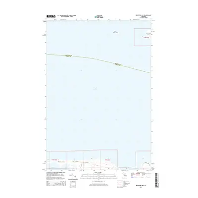
2017 Waugoshance Island
Emmet County, MI
2019 Big Stone Bay
Emmet County, MI
2019 Bliss
Emmet County, MI
2019 Epsilon
Emmet County, MI
2019 Forest Beach
Emmet County, MI
2019 Good Hart
Emmet County, MI
2019 Larks Lake
Emmet County, MI
2019 McGulpin Point
Emmet County, MI
2019 Waugoshance Island
Emmet County, MI
2023 Big Stone Bay
Emmet County, MI
2023 Bliss
Emmet County, MI
2023 Epsilon
Emmet County, MI
2023 Forest Beach
Emmet County, MI
2023 Good Hart
Emmet County, MI
2023 Larks Lake
Emmet County, MI
2023 McGulpin Point
Emmet County, MI
2023 Waugoshance Island
Emmet County, MI