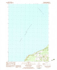
1982 Map of Cross Village
USGS Topo · Published 1983About this map
Cross Village sits perched above the eastern shore of Lake Michigan in this 1970s-era study. The settlement's layout reflects its deep history as one of the oldest inhabited sites in the region, centered around religious and community landmarks such as Holy Cross Ch and the Indian Cem. The shoreline is characterized by the sweep of Sturgeon Bay to the north and the mouth of Wycamp Cr near the Mackinaw State Forest boundary.
Find a feature on this map
17 named features on this map. Tap any name to fly to it.
Don’t see what you’re looking for? This feature index may not catch every label — zoom into the map to look around manually.
Map Details
Editions of this 1982 Cross Village Map
This is the sole edition of this map. No revisions or reprints were ever made.
Other maps of this area

1955 · Cheboygan
USGS Topo · 1:250,000

1958 · Cheboygan
USGS Topo · 1:250,000

1958 · Cross Village
USGS Topo · 1:62,500

1958 · Pellston
USGS Topo · 1:62,500

1964 · Big Stone Bay
USGS Topo · 1:24,000
1982 · Bliss
USGS Topo · 1:25,000
1982 · Good Hart
USGS Topo · 1:25,000
1982 · Waugoshance Island
USGS Topo · 1:25,000
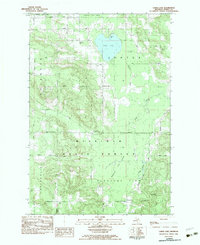
1982 · Larks Lake
USGS Topo · 1:25,000

1984 · Beaver Island
USGS Topo · 1:100,000