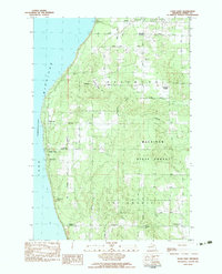
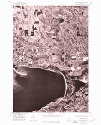
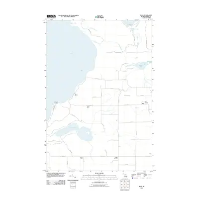
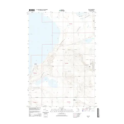
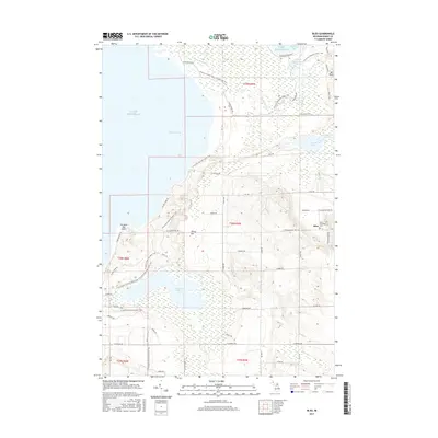
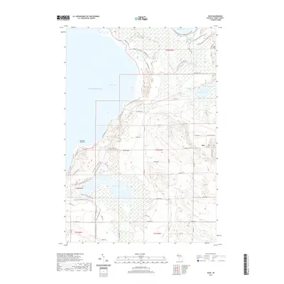
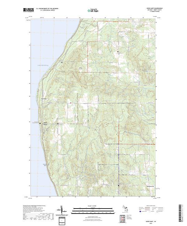
1982 Map of Good Hart
USGS Topo · Published 1983About this map
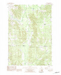
Lake Michigan shapes the western edge of this coastal landscape in Emmet County, where the high bluffs of Island View Hill overlook a network of rural settlements. The map illustrates a distinctive pattern of development along the lakeshore, anchored by the community of Good Hart and the historic Middle Village, also known as Good Hart Middle Ch. Away from the shoreline, the terrain transitions into the dense cover of the Mackinaw State Forest, which dominates the eastern half of the survey area. Small crossroads such as Johnsons Corners, Beckons Corners, and Ryans Corners mark the intersections of the township's rural grid, while the presence of the Island View Cem and Township Cem provide essential data points for local genealogists tracing family roots in Readmond and Friendship townships.
Find a feature on this map
41 named features on this map. Tap any name to fly to it.
Don’t see what you’re looking for? This feature index may not catch every label — zoom into the map to look around manually.
Map Details
Editions of this 1982 Good Hart Map
This is the sole edition of this map. No revisions or reprints were ever made.
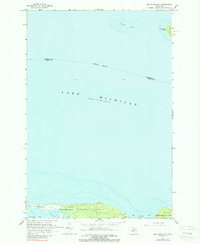
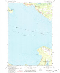
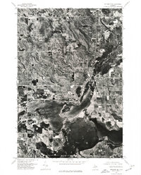
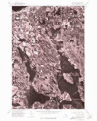
Historical Maps of Friendship Township Through Time
51 maps found
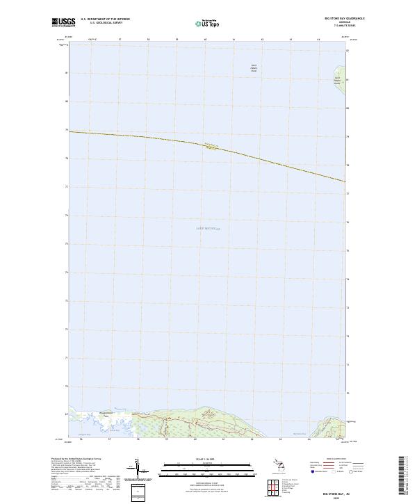
1964 Big Stone Bay
Emmet County, MI
1964 McGulpin Point
Emmet County, MI
1975 Petoskey NE
Emmet County, MI
1975 Petoskey NW
Emmet County, MI
1975 Petoskey SW
Emmet County, MI
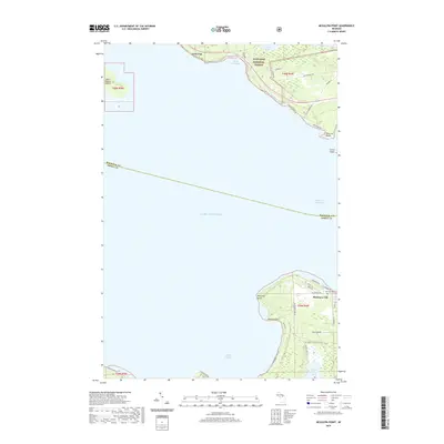
1982 Bliss
Emmet County, MI
1982 Good Hart
Emmet County, MI
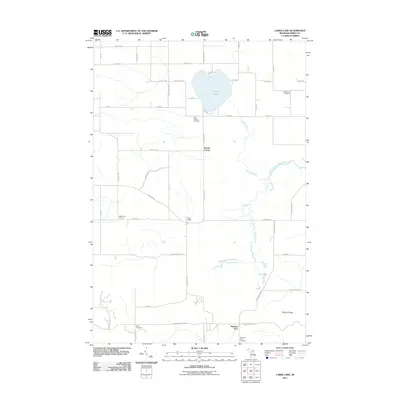
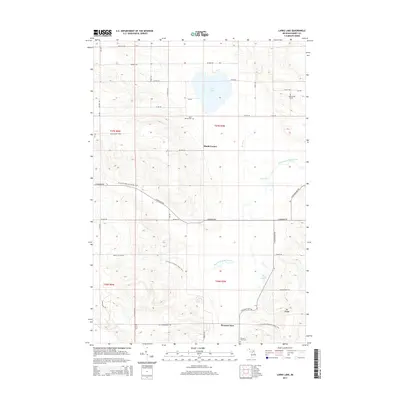
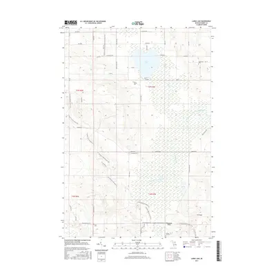
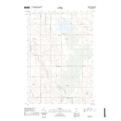
1982 Larks Lake
Emmet County, MI
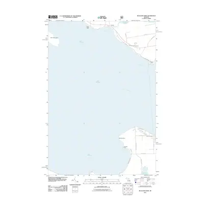
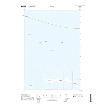
1982 Waugoshance Island
Emmet County, MI
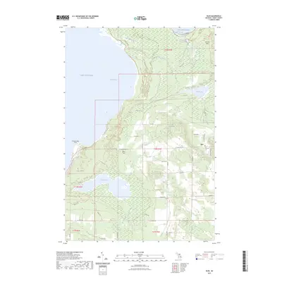
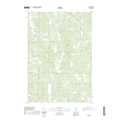
1983 Epsilon
Emmet County, MI
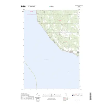
1983 Forest Beach
Emmet County, MI
2011 Big Stone Bay
Emmet County, MI
2011 Bliss
Emmet County, MI
2011 Epsilon
Emmet County, MI
2011 Forest Beach
Emmet County, MI
2011 Good Hart
Emmet County, MI
2011 Larks Lake
Emmet County, MI
2011 McGulpin Point
Emmet County, MI
2011 Waugoshance Island
Emmet County, MI
2014 Big Stone Bay
Emmet County, MI
2014 Bliss
Emmet County, MI
2014 Epsilon
Emmet County, MI
2014 Forest Beach
Emmet County, MI
2014 Good Hart
Emmet County, MI
2014 Larks Lake
Emmet County, MI
2014 McGulpin Point
Emmet County, MI
2014 Waugoshance Island
Emmet County, MI
2017 Big Stone Bay
Emmet County, MI
2017 Bliss
Emmet County, MI
2017 Epsilon
Emmet County, MI
2017 Forest Beach
Emmet County, MI
2017 Good Hart
Emmet County, MI
2017 Larks Lake
Emmet County, MI
2017 McGulpin Point
Emmet County, MI
2017 Waugoshance Island
Emmet County, MI
2019 Big Stone Bay
Emmet County, MI
2019 Bliss
Emmet County, MI
2019 Epsilon
Emmet County, MI
2019 Forest Beach
Emmet County, MI
2019 Good Hart
Emmet County, MI
2019 Larks Lake
Emmet County, MI
2019 McGulpin Point
Emmet County, MI
2019 Waugoshance Island
Emmet County, MI
2023 Big Stone Bay
Emmet County, MI
2023 Bliss
Emmet County, MI
2023 Epsilon
Emmet County, MI
2023 Forest Beach
Emmet County, MI
2023 Good Hart
Emmet County, MI
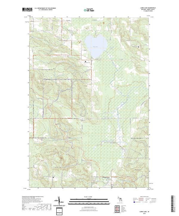
2023 Larks Lake
Emmet County, MI
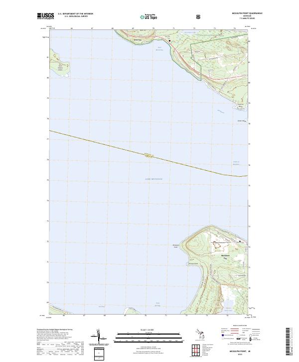
2023 McGulpin Point
Emmet County, MI
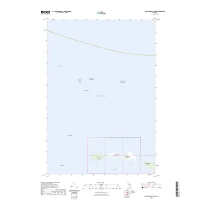
2023 Waugoshance Island
Emmet County, MI
Featured Locations
- Cross Village Township, MI
- Friendship Township, MI
- Readmond Township, MI
- Good Hart, Readmond Township
- Middle Village, Friendship Township