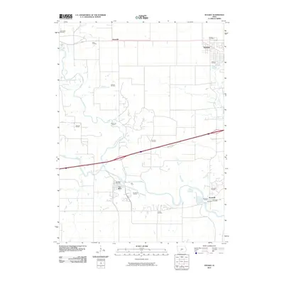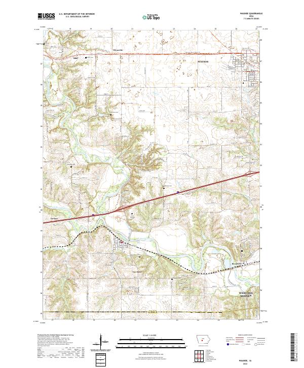
2022 Map of Waukee
USGS Topo · Published 2022About this map
The North Raccoon River and South Raccoon River converge on this 2022 survey, marking a significant hydrological junction near the Dallas and Madison County line. This area of central Iowa is defined by its transition from agricultural expanses to expanding suburban development, notably around Waukee and the western edge of West Des Moines. The map is particularly valuable for genealogical research, documenting numerous small burial grounds such as Miller Cem, Otterman Cem, and Thornton Cem, alongside the large Iowa Veterans Cem. Historic transportation corridors are visible, including the Raccoon River Valley Trl passing through Ortonville and Adel, following the path of former rail lines. The landscape also features smaller watercourses like Bulger Cr and Sugar Cr that feed into the main river system near the settlements of Van Meter and Booneville.
Find a feature on this map
86 named features on this map. Tap any name to fly to it.
Don’t see what you’re looking for? This feature index may not catch every label — zoom into the map to look around manually.
Map Details
Editions of this 2022 Waukee Map
This is the sole edition of this map. No revisions or reprints were ever made.
Historical Maps of West Des Moines Through Time
7 maps found