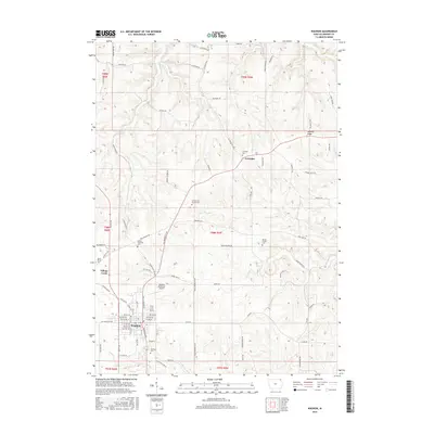
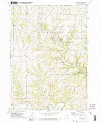
2015 Map of Waukon
USGS Topo · Published 2015About this map
Waukon serves as the primary hub of this Allamakee County landscape, surrounded by a complex network of ridgelines and creek valleys. The settlement pattern is defined by elevated ridges such as Lansing Ridge and Kedary Ridge Dr, which separate the drainages of Silver Cr and Village Cr. This 2015 data illustrates a deep-rooted rural community where local history is preserved across numerous burial grounds, including Oakland Cem, Mount Olivet Cem, and the Makee Township Cem.
Find a feature on this map
93 named features on this map. Tap any name to fly to it.
Don’t see what you’re looking for? This feature index may not catch every label — zoom into the map to look around manually.
Map Details
Editions of this 2015 Waukon Map
This is the sole edition of this map. No revisions or reprints were ever made.
Other maps of this area

1903 · Waukon
USGS Topo · 1:125,000

1906 · Decorah
USGS Topo · 1:125,000

1958 · La Crosse
USGS Topo · 1:250,000

1961 · La Crosse
USGS Topo · 1:250,000

1965 · La Crosse
USGS Topo · 1:250,000
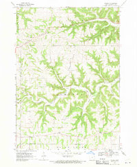
1968 · Church
USGS Topo · 1:24,000

1968 · Waukon
USGS Topo · 1:24,000
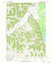
1968 · New Albin
USGS Topo · 1:24,000
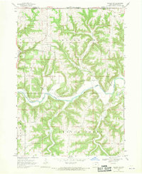
1968 · Waukon NW
USGS Topo · 1:24,000
1971 · Waterville
USGS Topo · 1:24,000