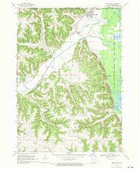
1968 Map of New Albin
USGS Topo · Published 1970About this map
The New Albin settlement sits at the intersection of the Minnesota Iowa border and the complex wetlands of the Mississippi River valley. This 1968 survey details a landscape defined by the winding course of the Upper Iowa River as it approaches its confluence, passing through the rugged topography of Lansing and Union City townships. The map documents the intricate network of the Upper Mississippi River Wild Life and Fish Refuge, where features like Pigpen Slough, Wood Slough, and Duck Lake dominate the eastern edge of the quadrangle.
Find a feature on this map
23 named features on this map. Tap any name to fly to it.
Don’t see what you’re looking for? This feature index may not catch every label — zoom into the map to look around manually.
Map Details
Editions of this 1968 New Albin Map
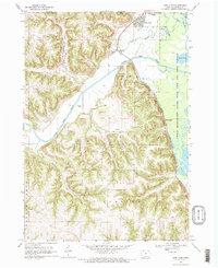
2 editions found
Other maps of this area

1903 · Waukon
USGS Topo · 1:125,000

1926 · Stoddard
USGS Topo · 1:62,500

1929 · Ferryville
USGS Topo · 1:62,500

1932 · Ferryville
USGS Topo · 1:62,500

1956 · Brownsville
USGS Topo · 1:62,500

1958 · La Crosse
USGS Topo · 1:250,000

1961 · La Crosse
USGS Topo · 1:250,000

1965 · La Crosse
USGS Topo · 1:250,000
1965 · Stoddard
USGS Topo · 1:62,500

1966 · Ferryville
USGS Topo · 1:62,500