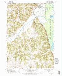
1968 Map of New Albin
USGS Topo · Published 1970About this map
New Albin serves as a focal point at the junction of the Minnesota Iowa border and the Upper Mississippi River Wild Life and Fish Refuge. This landscape is defined by the convergence of the Upper Iowa River and the complex wetlands of the Mississippi floodplain, including Pippen Slough and Duck Lake. The map reveals a transition from the narrow agricultural valleys of Irish Hollow Creek and Clark Creek to the expansive river bottoms, where the Chicago Milwaukee St Paul and Pacific railroad tracks hug the bluffs. Notable landmarks such as the Indian Mounds overlooking the valley and the rail-side stop at Kains Siding illustrate the intersection of ancient history and 20th-century transportation infrastructure in Allamakee County.
Find a feature on this map
24 named features on this map. Tap any name to fly to it.
Don’t see what you’re looking for? This feature index may not catch every label — zoom into the map to look around manually.
Map Details
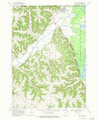
Editions of this 1968 New Albin Map
2 editions found
Other maps of this area

1903 · Waukon
USGS Topo · 1:125,000

1926 · Stoddard
USGS Topo · 1:62,500

1929 · Ferryville
USGS Topo · 1:62,500

1932 · Ferryville
USGS Topo · 1:62,500

1956 · Brownsville
USGS Topo · 1:62,500

1958 · La Crosse
USGS Topo · 1:250,000

1961 · La Crosse
USGS Topo · 1:250,000

1965 · La Crosse
USGS Topo · 1:250,000
1965 · Stoddard
USGS Topo · 1:62,500

1966 · Ferryville
USGS Topo · 1:62,500