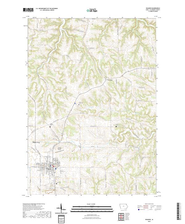
2022 Map of Waukon
USGS Topo · Published 2022About this map
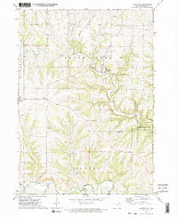
The Allamakee County Courthouse stands as the central landmark of Waukon, the county seat in this corner of Northeast Iowa. The town serves as a hub for the surrounding agricultural community, flanked by the Waukon Municipal Airport and residential extensions like Village Creek. To the north, the landscape transitions into the rolling terrain of Lansing Ridge, where the small settlement of Lycurgus is situated near several local landmarks including Lycurgus Cem and Howard School Rd. The map reveals a high density of small family and township burial sites, such as Makee Township Cem and Round Prairie Cem, which provide significant value for genealogical research in this long-settled region. The drainage patterns of French Cr and Silver Cr define the northern valleys, while the presence of Iron Mine Dr hints at the area's historical industrial activities.
Find a feature on this map
90 named features on this map. Tap any name to fly to it.
Don’t see what you’re looking for? This feature index may not catch every label — zoom into the map to look around manually.
Map Details
Editions of this 2022 Waukon Map
This is the sole edition of this map. No revisions or reprints were ever made.
Other maps of this area

1903 · Waukon
USGS Topo · 1:125,000

1906 · Decorah
USGS Topo · 1:125,000

1958 · La Crosse
USGS Topo · 1:250,000

1961 · La Crosse
USGS Topo · 1:250,000

1965 · La Crosse
USGS Topo · 1:250,000
1968 · Church
USGS Topo · 1:24,000

1968 · Waukon
USGS Topo · 1:24,000
1968 · New Albin
USGS Topo · 1:24,000
1968 · Waukon NW
USGS Topo · 1:24,000
1971 · Waterville
USGS Topo · 1:24,000