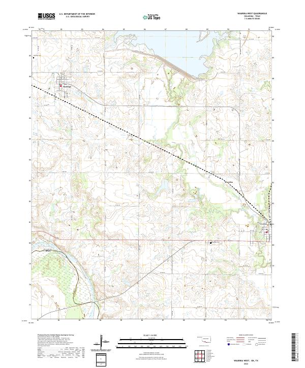
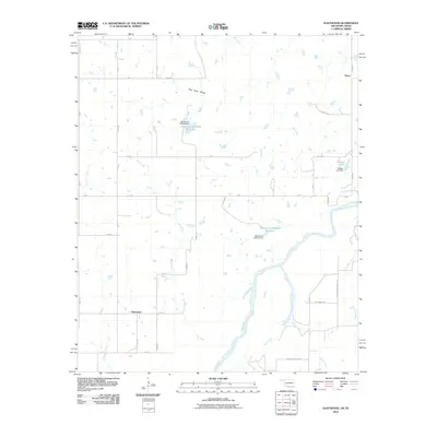
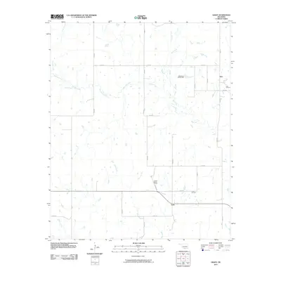
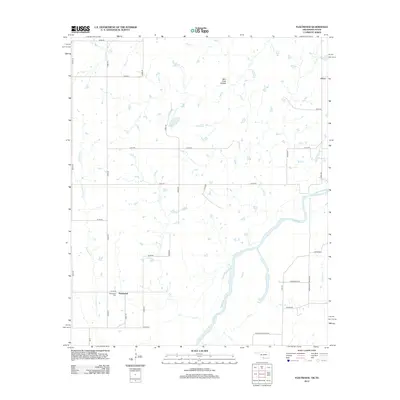
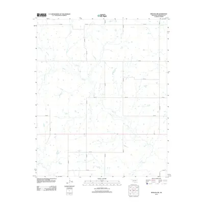
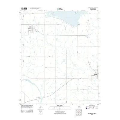
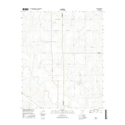
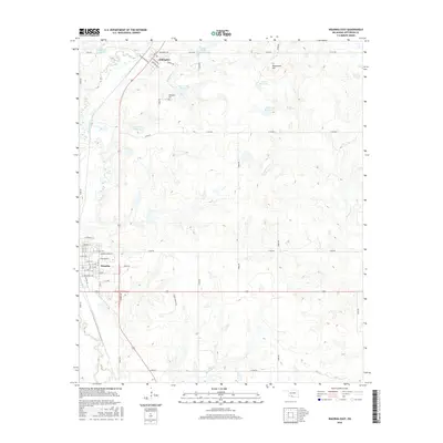
2022 Map of Waurika West
USGS Topo · Published 2022About this map
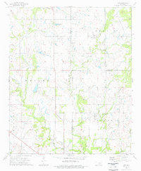
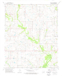
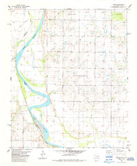
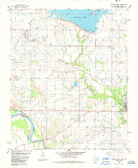
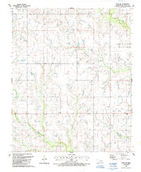
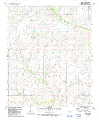
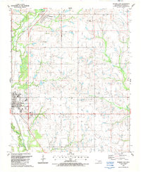
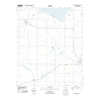
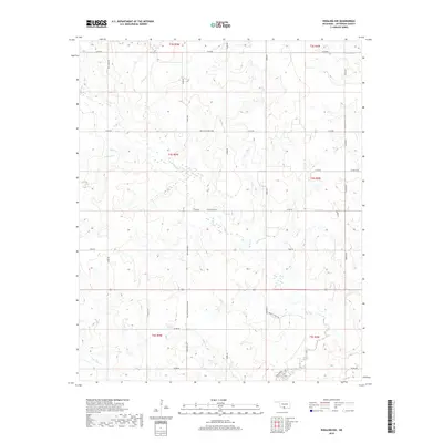
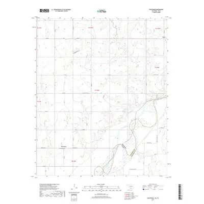
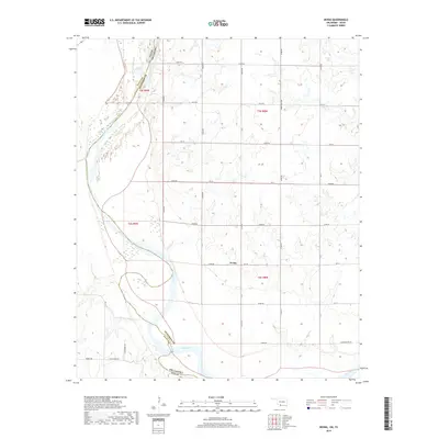
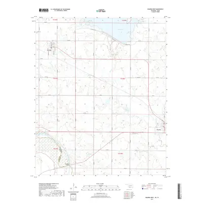
Waurika and Hastings anchor this agricultural landscape in southern Oklahoma, where the state border is defined by the shifting course of the Red River. In the northern portion of the map, the Waurika Lake reservoir dominates the drainage of Beaver Cr, regulated by the engineering of the Waurika Dam Rd. The grid of rural section roads, such as E1910 Rd and N2750 Rd, connects scattered farmsteads across the township lines of t3s r9w and t4s r8w.
Find a feature on this map
53 named features on this map. Tap any name to fly to it.
Don’t see what you’re looking for? This feature index may not catch every label — zoom into the map to look around manually.
Map Details
Editions of this 2022 Waurika West Map
This is the sole edition of this map. No revisions or reprints were ever made.
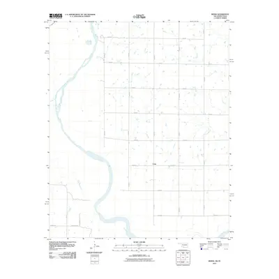
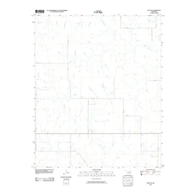
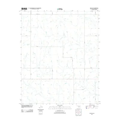
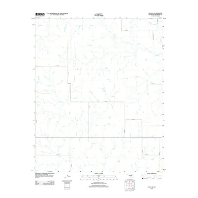
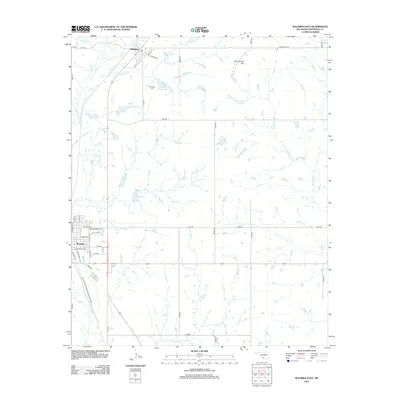
Historical Maps of Waurika Through Time
55 maps found
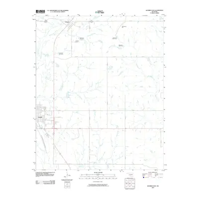
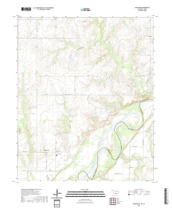
1968 Fleetwood
Jefferson County, OK
1968 Spanish Fort
Jefferson County, OK
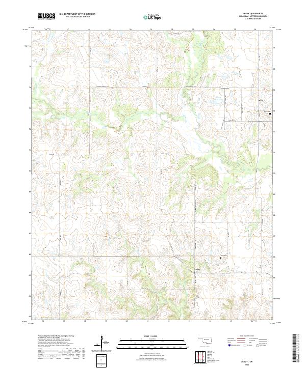
1974 Grady
Jefferson County, OK
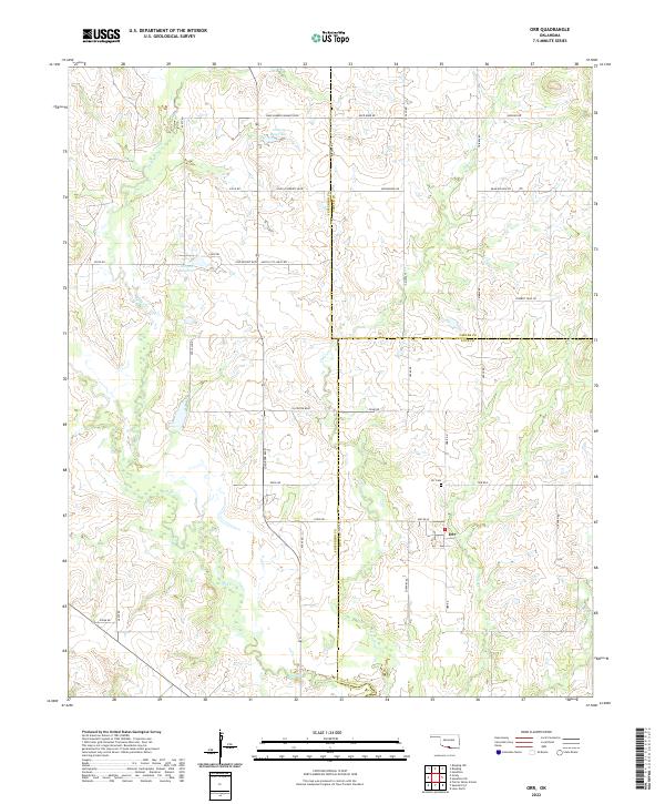
1974 Orr
Jefferson County, OK
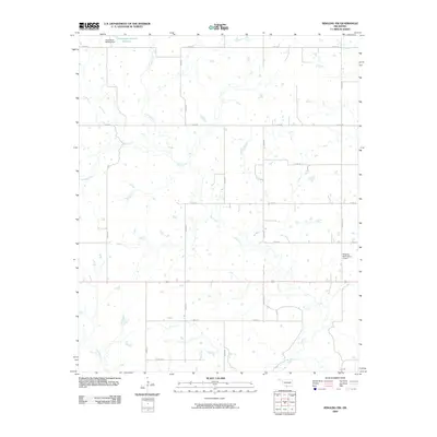
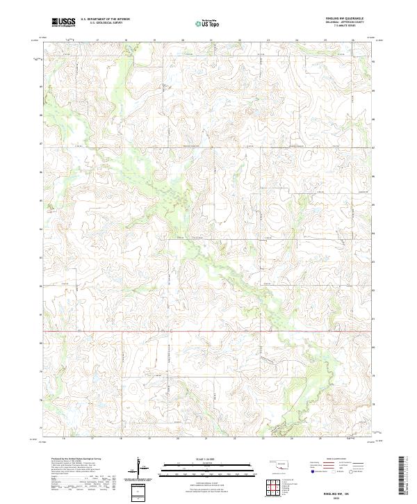
1974 Ringling NW
Jefferson County, OK
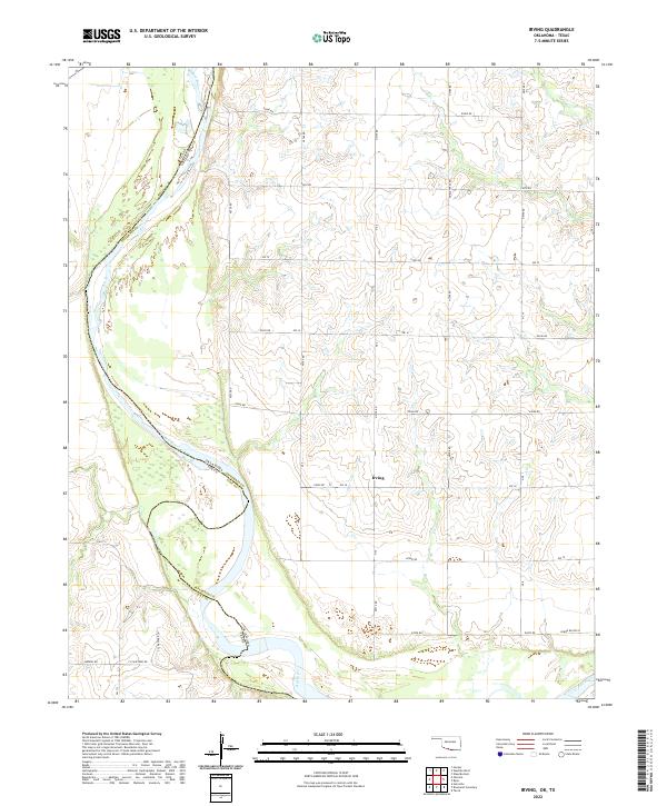
1984 Irving
Jefferson County, OK
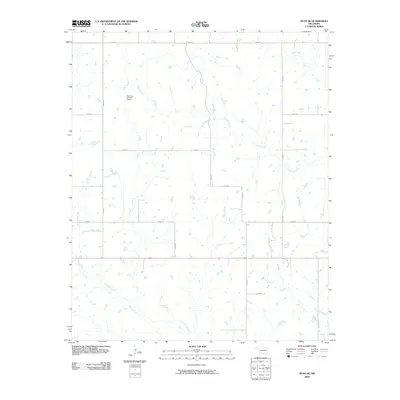
1984 Waurika West
Jefferson County, OK
1987 Ryan NE
Jefferson County, OK
1987 Ryan SE
Jefferson County, OK
1987 Waurika East
Jefferson County, OK
2009 Orr
Jefferson County, OK
2009 Ringling NW
Jefferson County, OK
2009 Ryan NE
Jefferson County, OK
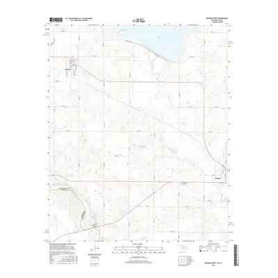
2009 Waurika East
Jefferson County, OK
2010 Fleetwood
Jefferson County, OK
2010 Grady
Jefferson County, OK
2010 Irving
Jefferson County, OK
2010 Ryan SE
Jefferson County, OK
2010 Waurika West
Jefferson County, OK
2012 Fleetwood
Jefferson County, OK
2012 Grady
Jefferson County, OK
2012 Irving
Jefferson County, OK
2012 Orr
Jefferson County, OK
2012 Ringling NW
Jefferson County, OK
2012 Ryan NE
Jefferson County, OK
2012 Ryan SE
Jefferson County, OK
2012 Waurika East
Jefferson County, OK
2012 Waurika West
Jefferson County, OK
2016 Fleetwood
Jefferson County, OK
2016 Grady
Jefferson County, OK
2016 Irving
Jefferson County, OK
2016 Orr
Jefferson County, OK
2016 Ringling NW
Jefferson County, OK
2016 Ryan NE
Jefferson County, OK
2016 Ryan SE
Jefferson County, OK
2016 Waurika East
Jefferson County, OK
2016 Waurika West
Jefferson County, OK
2018 Grady
Jefferson County, OK
2018 Orr
Jefferson County, OK
2018 Ringling NW
Jefferson County, OK
2018 Ryan NE
Jefferson County, OK
2018 Ryan SE
Jefferson County, OK
2018 Waurika East
Jefferson County, OK
2019 Fleetwood
Jefferson County, OK
2019 Irving
Jefferson County, OK
2019 Waurika West
Jefferson County, OK
2022 Fleetwood
Jefferson County, OK
2022 Grady
Jefferson County, OK
2022 Irving
Jefferson County, OK
2022 Orr
Jefferson County, OK
2022 Ringling NW
Jefferson County, OK
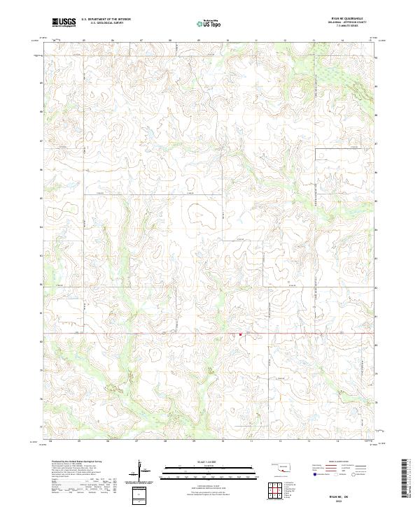
2022 Ryan NE
Jefferson County, OK
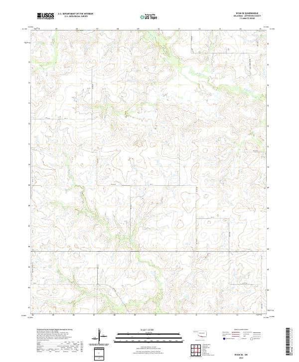
2022 Ryan SE
Jefferson County, OK
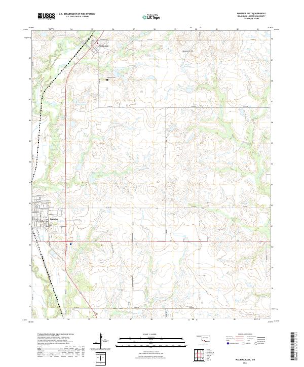
2022 Waurika East
Jefferson County, OK
2022 Waurika West
Jefferson County, OK