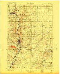
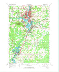
1953 Map of Wausau
USGS Topo · Published 1955About this map
The Wisconsin River corridor dominates this mid-century survey, anchoring the industrial and civic development of Wausau, Schofield, and Rothschild. The river widens into Lake Wausau, a central feature that separates the urban centers from the towering topography of Rib Mountain and the adjacent Rib Mountain State Park. The region's infrastructure is well-established by the early 1950s, with the Chicago and North Western and Chicago Milwaukee St Paul and Pacific railroads facilitating commerce alongside the Alexander Municipal Airport.
Find a feature on this map
83 named features on this map. Tap any name to fly to it.
Don’t see what you’re looking for? This feature index may not catch every label — zoom into the map to look around manually.
Map Details
Editions of this 1953 Wausau Map
This is the sole edition of this map. No revisions or reprints were ever made.
Historical Maps of Rib Mountain Heights Through Time
5 maps found