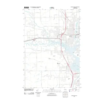
2010 Map of Wausau West
USGS Topo · Published 2010About this map
Wausau and the surrounding township of Rib Mountain anchor this modern survey of central Wisconsin, where the confluence of the Big Rib River and the Wisconsin River shaped the local geography and industry. The map captures the city's infrastructure at a time of significant development, showing the University of Wisconsin - Marathon Center and several critical water management structures like the Wausau Dam 3092 and the Rothschild 1903C155 Dam. To the west, the landscape rises toward the prominent landmark of Rib Mountain, a site defined by both its natural elevation and the Rib Mountain Ski Area.
Find a feature on this map
43 named features on this map. Tap any name to fly to it.
Don’t see what you’re looking for? This feature index may not catch every label — zoom into the map to look around manually.
Map Details
Editions of this 2010 Wausau West Map
This is the sole edition of this map. No revisions or reprints were ever made.
Other maps of this area

1899 · Wausau
USGS Topo · 1:125,000

1902 · Wausau
USGS Topo · 1:125,000

1902 · Marathon
USGS Topo · 1:125,000

1951 · Merrill
USGS Topo · 1:48,000

1951 · Hamburg
USGS Topo · 1:48,000

1953 · Wausau
USGS Topo · 1:48,000

1953 · Marathon
USGS Topo · 1:48,000

1954 · Iron Mountain
USGS Topo · 1:250,000

1955 · Green Bay
USGS Topo · 1:250,000

1959 · Iron Mountain
USGS Topo · 1:250,000