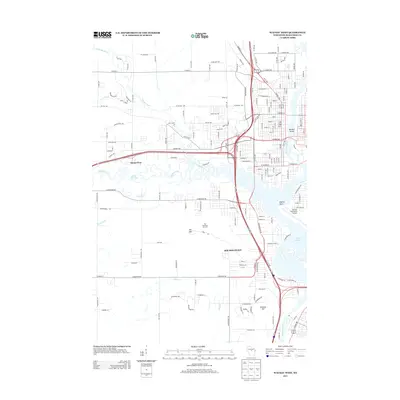
2013 Map of Wausau West
USGS Topo · Published 2013About this map
Rib Mountain and its namesake Ski Area dominate the landscape west of the Wisconsin River in this 2013 survey. The terrain transitions from the high elevations of Mosinee Hill and the ski slopes down to the intricate river bends and sloughs of the Big Rib River. This area reflects a balance of recreation and infrastructure, with the Wausau Downtown Airport situated near the water's edge at Asylum Point. Residential growth is evident in settlements like Mount View and Lazy Acre, while the hydrological network is anchored by Lake Wausau. The map captures the significant transportation corridor of the US-51 bypass as it carves through the heart of Marathon County, connecting the developed eastern bank near Barkers Island to the higher ground of the west.
Find a feature on this map
65 named features on this map. Tap any name to fly to it.
Don’t see what you’re looking for? This feature index may not catch every label — zoom into the map to look around manually.
Map Details
Editions of this 2013 Wausau West Map
This is the sole edition of this map. No revisions or reprints were ever made.
Other maps of this area

1899 · Wausau
USGS Topo · 1:125,000

1902 · Wausau
USGS Topo · 1:125,000

1902 · Marathon
USGS Topo · 1:125,000

1951 · Merrill
USGS Topo · 1:48,000

1951 · Hamburg
USGS Topo · 1:48,000

1953 · Wausau
USGS Topo · 1:48,000

1953 · Marathon
USGS Topo · 1:48,000

1954 · Iron Mountain
USGS Topo · 1:250,000

1955 · Green Bay
USGS Topo · 1:250,000

1959 · Iron Mountain
USGS Topo · 1:250,000