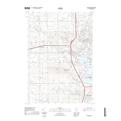
2018 Map of Wausau West
USGS Topo · Published 2018About this map
The Wisconsin River corridor defines the landscape of Marathon County, where the industrial and residential core of Wausau meets the significant elevation of Rib Mtn. This late-2010s survey captures the urban density around Lake Wausau and the sprawling nature of surrounding communities like Mount View, Maine, and Rib Mountain. The geography is a complex mix of river-bottom wetlands and prominent geological features, including the wooded rise of Mosinee Hill and the expansive Ninemile Swamp to the southwest. Transport and infrastructure are central to the area's layout, seen in the proximity of the Wausau Downtown Airport to the riverbank and the winding course of the Big Rib River as it approaches its confluence with the Wisconsin. Landmarks such as Barkers Island and Asylum Point provide specific touchstones for local history and environmental study along the developed waterfront.
Find a feature on this map
226 named features on this map. Tap any name to fly to it.
Don’t see what you’re looking for? This feature index may not catch every label — zoom into the map to look around manually.
Map Details
Editions of this 2018 Wausau West Map
This is the sole edition of this map. No revisions or reprints were ever made.
Other maps of this area

1899 · Wausau
USGS Topo · 1:125,000

1902 · Wausau
USGS Topo · 1:125,000

1902 · Marathon
USGS Topo · 1:125,000

1951 · Merrill
USGS Topo · 1:48,000

1951 · Hamburg
USGS Topo · 1:48,000

1953 · Wausau
USGS Topo · 1:48,000

1953 · Marathon
USGS Topo · 1:48,000

1954 · Iron Mountain
USGS Topo · 1:250,000

1955 · Green Bay
USGS Topo · 1:250,000

1959 · Iron Mountain
USGS Topo · 1:250,000