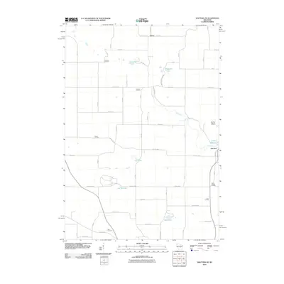
2010 Map of Wautoma NE
USGS Topo · Published 2010About this map
Wild Rose anchor the eastern edge of this Waushara County landscape, where the Wild Rose Millpond 53 and the Wild Rose State Fish Hatchery reflect a local economy and conservation legacy tied to the flowing waters of the Pine River. Further west, the terrain is dotted with numerous small lakes and glacial depressions, including Chain Lake, Beans Lake, and Lake Wautoma.
Find a feature on this map
35 named features on this map. Tap any name to fly to it.
Don’t see what you’re looking for? This feature index may not catch every label — zoom into the map to look around manually.
Map Details
Editions of this 2010 Wautoma NE Map
This is the sole edition of this map. No revisions or reprints were ever made.
Other maps of this area

1955 · Green Bay
USGS Topo · 1:250,000

1957 · Amherst
USGS Topo · 1:48,000

1957 · Waupaca
USGS Topo · 1:48,000

1959 · Wautoma
USGS Topo · 1:48,000

1961 · Redgranite
USGS Topo · 1:62,500

1961 · Wild Rose
USGS Topo · 1:24,000

1961 · Spring Lake
USGS Topo · 1:24,000

1968 · Richford
USGS Topo · 1:24,000

1968 · Plainfield
USGS Topo · 1:24,000
1968 · Wautoma
USGS Topo · 1:24,000