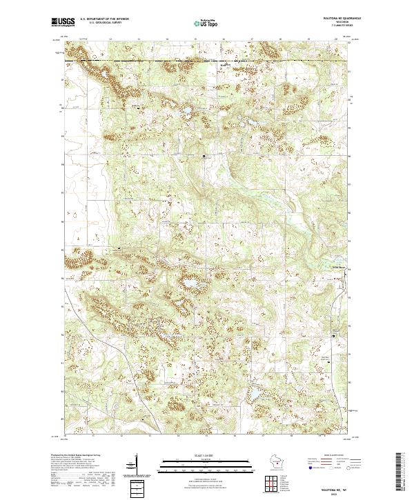
2022 Map of Wautoma NE
USGS Topo · Published 2022About this map
The Pine River winds through this central Wisconsin landscape, anchoring a region defined by its diverse glacial water bodies and early cemeteries. The settlement of Wild Rose sits on the eastern edge near the Wild Rose Pond, while the northern reach is marked by Heffron at the Portage County and Waushara County line. This area is a significant corridor for recreation, as evidenced by the presence of the Ice Age National Scenic Trail and the Viking Trail near the shores of Lake Wautoma. Genealogists will find a high density of burial sites reflecting the area's early families, including the Bohemian Cem, Staples Cem, and Mount Pleasant Cem. The local road network, including County Highway P and County Road A, connects these scattered homesteads and water features like Chain Lake and Beans Lake.
Find a feature on this map
49 named features on this map. Tap any name to fly to it.
Don’t see what you’re looking for? This feature index may not catch every label — zoom into the map to look around manually.
Map Details
Editions of this 2022 Wautoma NE Map
This is the sole edition of this map. No revisions or reprints were ever made.
Other maps of this area

1955 · Green Bay
USGS Topo · 1:250,000

1957 · Amherst
USGS Topo · 1:48,000

1957 · Waupaca
USGS Topo · 1:48,000

1959 · Wautoma
USGS Topo · 1:48,000

1961 · Redgranite
USGS Topo · 1:62,500

1961 · Wild Rose
USGS Topo · 1:24,000

1961 · Spring Lake
USGS Topo · 1:24,000

1968 · Richford
USGS Topo · 1:24,000

1968 · Plainfield
USGS Topo · 1:24,000
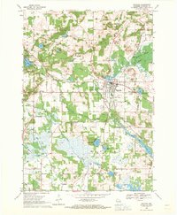
1968 · Wautoma
USGS Topo · 1:24,000