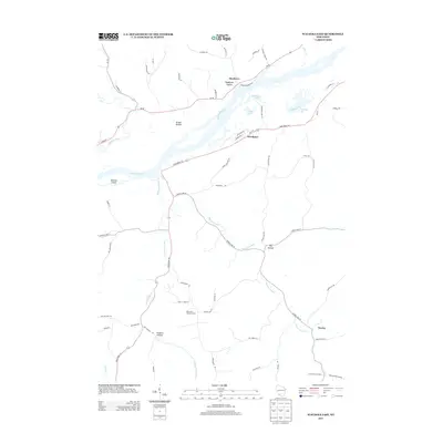
2013 Map of Wauzeka East
USGS Topo · Published 2013About this map
The Wisconsin River corridor defines this portion of the Driftless Area, where the wide river valley meets a complex network of smaller tributaries. The village of Woodman serves as a focal point near the river's southern bank, flanked by distinct water features like Woodman Lake, Dead Lake, and the winding Bullhead Slu. Across the main channel, Newton Island and the settlement of Boydtown occupy the northern flats near the mouth of the Kickapoo River.
Find a feature on this map
64 named features on this map. Tap any name to fly to it.
Don’t see what you’re looking for? This feature index may not catch every label — zoom into the map to look around manually.
Map Details
Editions of this 2013 Wauzeka East Map
This is the sole edition of this map. No revisions or reprints were ever made.
Other maps of this area

1900 · Lancaster
USGS Topo · 1:125,000

1904 · Lancaster
USGS Topo · 1:125,000

1908 · Lancaster
USGS Topo · 1:125,000

1926 · Wauzeka
USGS Topo · 1:62,500

1933 · Boscobel
USGS Topo · 1:62,500

1958 · La Crosse
USGS Topo · 1:250,000

1959 · Dubuque
USGS Topo · 1:250,000

1961 · Dubuque
USGS Topo · 1:250,000

1961 · La Crosse
USGS Topo · 1:250,000

1962 · Dubuque
USGS Topo · 1:250,000