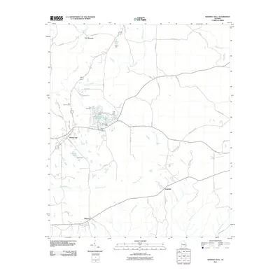
2011 Map of Waverly Hall
USGS Topo · Published 2011About this map
Waverly Hall serves as the primary hub of this Harris County landscape, where the intersection of local routes meets a cluster of small community reservoirs. The topography is defined by the prominent ridge of Oak Mountain to the north, which directs the flow of Sparks Creek and Mulberry Creek southward. This 2011 survey reveals a high concentration of private water management features, including Ski Lake, Whispering Pines Lake, and Silver Lake, each with its own identified dam. These lakes reflect a modern era of residential development and land use centered around recreation and small-scale water control.
Find a feature on this map
62 named features on this map. Tap any name to fly to it.
Don’t see what you’re looking for? This feature index may not catch every label — zoom into the map to look around manually.
Map Details
Editions of this 2011 Waverly Hall Map
This is the sole edition of this map. No revisions or reprints were ever made.
Other maps of this area

1907 · Talbotton
USGS Topo · 1:125,000

1934 · Warm Springs
USGS Topo · 1:62,500

1936 · Warm Springs
USGS Topo · 1:62,500

1949 · Midland
USGS Topo · 1:24,000

1949 · Upatoi
USGS Topo · 1:24,000

1950 · Talbotton
USGS Topo · 1:24,000

1950 · Geneva
USGS Topo · 1:24,000

1950 · Waverly Hall
USGS Topo · 1:24,000

1950 · Cataula
USGS Topo · 1:24,000

1950 · Talbotton
USGS Topo · 1:62,500