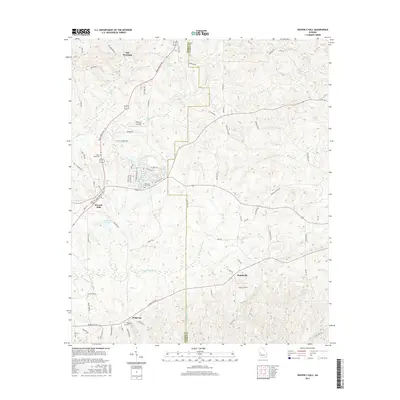
2017 Map of Waverly Hall
USGS Topo · Published 2017About this map
Waverly Hall serves as the central hub of this Harris and Talbot County borderland, where the northern slopes of Oak Mountain meet a network of small lakes and agricultural plains. The landscape is defined by its water, from the winding path of Ossahatchie Cr in the south to the clustered shoreline of Peeds Lakes and Silver Lake near the town center. The map reveals a transition between the elevated ridges to the north and the lower creek basins that feed into Mulberry Cr.
Find a feature on this map
80 named features on this map. Tap any name to fly to it.
Don’t see what you’re looking for? This feature index may not catch every label — zoom into the map to look around manually.
Map Details
Editions of this 2017 Waverly Hall Map
This is the sole edition of this map. No revisions or reprints were ever made.
Other maps of this area

1907 · Talbotton
USGS Topo · 1:125,000

1934 · Warm Springs
USGS Topo · 1:62,500

1936 · Warm Springs
USGS Topo · 1:62,500

1949 · Midland
USGS Topo · 1:24,000

1949 · Upatoi
USGS Topo · 1:24,000

1950 · Talbotton
USGS Topo · 1:24,000

1950 · Geneva
USGS Topo · 1:24,000

1950 · Waverly Hall
USGS Topo · 1:24,000

1950 · Cataula
USGS Topo · 1:24,000

1950 · Talbotton
USGS Topo · 1:62,500