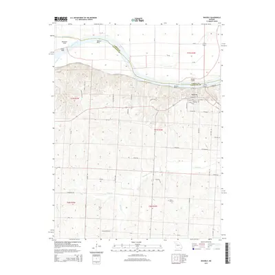
2015 Map of Waverly
USGS Topo · Published 2015About this map
Waverly occupies a prominent position on the bluffs overlooking the Missouri River in this Lafayette County survey. The landscape is defined by the river's dynamic path, featuring significant curves such as Moberly Bend, Hodge Bend, and Waverly Bend. Islands and chutes, including Baltimore Island and Baltimore Island Chute, illustrate the complexity of the riverine environment at the boundary with Carroll County. South of the river, the terrain transitions into a series of drainages like Salt Fork and Willow Br, where the rural road network follows the local topography.
Find a feature on this map
63 named features on this map. Tap any name to fly to it.
Don’t see what you’re looking for? This feature index may not catch every label — zoom into the map to look around manually.
Map Details
Editions of this 2015 Waverly Map
This is the sole edition of this map. No revisions or reprints were ever made.
Other maps of this area

1889 · Lexington
USGS Topo · 1:125,000

1890 · Marshall
USGS Topo · 1:125,000

1892 · Marshall
USGS Topo · 1:125,000

1901 · Marshall
USGS Topo · 1:125,000

1950 · Dover
USGS Topo · 1:24,000
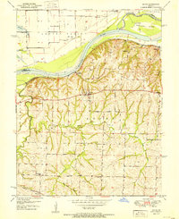
1951 · Dover
USGS Topo · 1:24,000

1951 · Alma
USGS Topo · 1:24,000
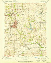
1951 · Higginsville
USGS Topo · 1:24,000

1951 · Carrollton East
USGS Topo · 1:24,000

1951 · Waverly
USGS Topo · 1:24,000