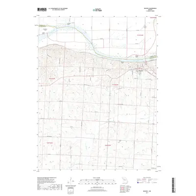
2017 Map of Waverly
USGS Topo · Published 2017About this map
Waverly occupies the high ground south of the Missouri River where the river loops through a series of pronounced curves including Hodge Bend, Moberly Bend, and Waverly Bend. The town's grid is oriented toward the water, with Old Bridge St and E Walnut St leading toward the riverbanks and Rabbit Island. This landscape is defined by the sharp transition between the wide, level floodplain to the north and the heavily dissected loess bluffs to the south, where numerous small drainages like Gliddens Br and Craig Br have carved deep valleys into the terrain.
Find a feature on this map
66 named features on this map. Tap any name to fly to it.
Don’t see what you’re looking for? This feature index may not catch every label — zoom into the map to look around manually.
Map Details
Editions of this 2017 Waverly Map
This is the sole edition of this map. No revisions or reprints were ever made.
Other maps of this area

1889 · Lexington
USGS Topo · 1:125,000

1890 · Marshall
USGS Topo · 1:125,000

1892 · Marshall
USGS Topo · 1:125,000

1901 · Marshall
USGS Topo · 1:125,000

1950 · Dover
USGS Topo · 1:24,000
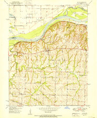
1951 · Dover
USGS Topo · 1:24,000

1951 · Alma
USGS Topo · 1:24,000
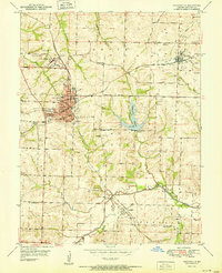
1951 · Higginsville
USGS Topo · 1:24,000

1951 · Carrollton East
USGS Topo · 1:24,000

1951 · Waverly
USGS Topo · 1:24,000