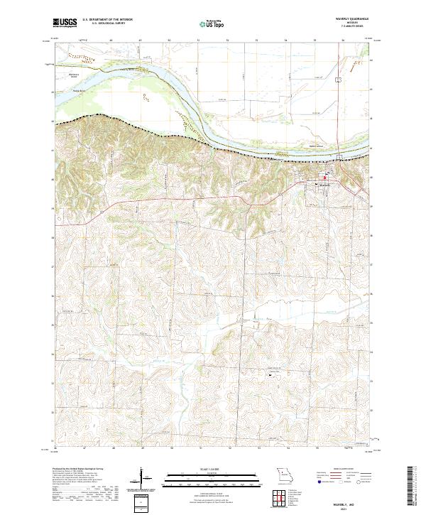
2021 Map of Waverly
USGS Topo · Published 2021About this map
Waverly sits atop the southern bluffs of the Missouri River, marking a point where the river carves distinct curves such as Hodge Bend, Moberly Bend, and Waverly Bend. This landscape is defined by the sharp contrast between the wide, flat river valley to the north and the intricate network of drainage ravines to the south. Local history is etched into the road names, where the Old Santa Fe Trl cuts across the terrain, recalling the region's importance as a transportation corridor. Genealogists will find interest in Waverly Cem and the more remote Catron Cem tucked near Salt Fork. The map also details the complex island and chute systems of the river, including Baltimore Island and the Baltimore Island-chute, which illustrate the shifting nature of the waterway at the Carroll and Lafayette county line.
Find a feature on this map
60 named features on this map. Tap any name to fly to it.
Don’t see what you’re looking for? This feature index may not catch every label — zoom into the map to look around manually.
Map Details
Editions of this 2021 Waverly Map
This is the sole edition of this map. No revisions or reprints were ever made.
Other maps of this area

1889 · Lexington
USGS Topo · 1:125,000

1890 · Marshall
USGS Topo · 1:125,000

1892 · Marshall
USGS Topo · 1:125,000

1901 · Marshall
USGS Topo · 1:125,000

1950 · Dover
USGS Topo · 1:24,000
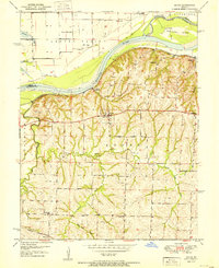
1951 · Dover
USGS Topo · 1:24,000

1951 · Alma
USGS Topo · 1:24,000
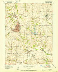
1951 · Higginsville
USGS Topo · 1:24,000

1951 · Carrollton East
USGS Topo · 1:24,000

1951 · Waverly
USGS Topo · 1:24,000