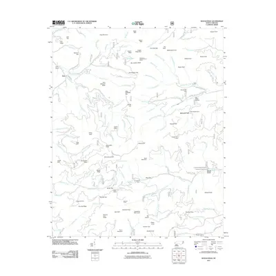
2011 Map of Wayah Bald
USGS Topo · Published 2011About this map
Wine Spring Bald and Burningtown Bald anchor a high-elevation landscape within the Nantahala Mountains, where numerous ridges and gaps define the drainage patterns of Burningtown Creek and Wayah Creek. This 2011 survey documents a topography heavily influenced by the presence of the Appalachian Trail, as evidenced by the Cold Spring Appalachian Trail Shelter and Siler Bald Shelter. Small-scale settlement is concentrated around Kyle and Wayah Depot, while the local history of the region is preserved at the Tippet Cemetery.
Find a feature on this map
131 named features on this map. Tap any name to fly to it.
Don’t see what you’re looking for? This feature index may not catch every label — zoom into the map to look around manually.
Map Details
Editions of this 2011 Wayah Bald Map
This is the sole edition of this map. No revisions or reprints were ever made.
Other maps of this area

1891 · Cowee
USGS Topo · 1:125,000

1897 · Cowee
USGS Topo · 1:125,000

1907 · Cowee
USGS Topo · 1:125,000

1933 · Bryson
USGS Topo · 1:62,500

1933 · Bushnell
USGS Topo · 1:62,500

1935 · Franklin
USGS Topo · 1:24,000

1935 · Rainbow Springs
USGS Topo · 1:24,000

1935 · Prentiss
USGS Topo · 1:24,000

1935 · Shooting Creek
USGS Topo · 1:24,000

1935 · Burningtown Bald
USGS Topo · 1:24,000