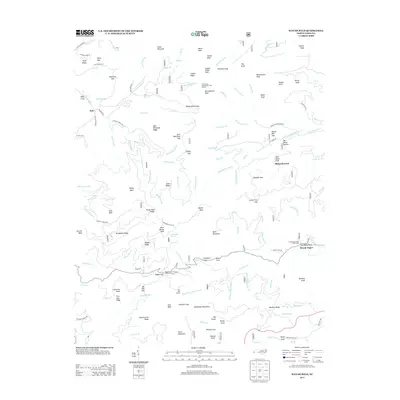
2013 Map of Wayah Bald
USGS Topo · Published 2013About this map
The high ridges of the Nantahala Mountains dominate this landscape, characterized by several prominent peaks and gaps that define the drainage patterns of the region. Wayah Bald and Burningtown Bald stand as significant landmarks alongside a network of trails, including the Cold Spring Appalachian Trail Shelter. The settlement of Kyle sits in the northwest near Bateman Gap, while Wayah Depot serves as a point of interest further east. Water features are abundant, with numerous branches such as Burningtown Br and Cold Spring Cr feeding into the larger creek systems.
Find a feature on this map
136 named features on this map. Tap any name to fly to it.
Don’t see what you’re looking for? This feature index may not catch every label — zoom into the map to look around manually.
Map Details
Editions of this 2013 Wayah Bald Map
This is the sole edition of this map. No revisions or reprints were ever made.
Other maps of this area

1891 · Cowee
USGS Topo · 1:125,000

1897 · Cowee
USGS Topo · 1:125,000

1907 · Cowee
USGS Topo · 1:125,000

1933 · Bryson
USGS Topo · 1:62,500

1933 · Bushnell
USGS Topo · 1:62,500

1935 · Franklin
USGS Topo · 1:24,000

1935 · Rainbow Springs
USGS Topo · 1:24,000

1935 · Prentiss
USGS Topo · 1:24,000

1935 · Shooting Creek
USGS Topo · 1:24,000

1935 · Burningtown Bald
USGS Topo · 1:24,000