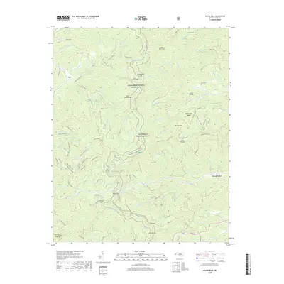
2019 Map of Wayah Bald
USGS Topo · Published 2019About this map
Nantahala National Forest dominates this mountain landscape, which is defined by a complex network of gaps, balds, and ridges. The 2019 survey traces two major long-distance paths, the Appalachian National Scenic Trail and the Bartram Trail, as they navigate the high-elevation terrain through Wayah Gap and Burningtown Gap. These trails intersect with local recreation routes like the Wine Springs Loop, illustrating the area's role as a modern hub for back-country exploration.
Find a feature on this map
85 named features on this map. Tap any name to fly to it.
Don’t see what you’re looking for? This feature index may not catch every label — zoom into the map to look around manually.
Map Details
Editions of this 2019 Wayah Bald Map
This is the sole edition of this map. No revisions or reprints were ever made.
Other maps of this area

1891 · Cowee
USGS Topo · 1:125,000

1897 · Cowee
USGS Topo · 1:125,000

1907 · Cowee
USGS Topo · 1:125,000

1933 · Bryson
USGS Topo · 1:62,500

1933 · Bushnell
USGS Topo · 1:62,500

1935 · Franklin
USGS Topo · 1:24,000

1935 · Rainbow Springs
USGS Topo · 1:24,000

1935 · Prentiss
USGS Topo · 1:24,000

1935 · Shooting Creek
USGS Topo · 1:24,000

1935 · Burningtown Bald
USGS Topo · 1:24,000