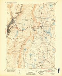
1948 Map of Waymart
USGS Topo · Published 1948About this map
The Moosic Mountains dominate the central landscape of this 1940s survey, dividing the industrial valley of Carbondale from the high-basin ponds of Wayne County. In the west, the Lackawanna River corridor is densely packed with transit history, showing the routes of the Erie Railroad, the Ontario and Western Railroad, and the Delaware and Hudson. This valley reflects the intense coal-and-rail economy of the era, contrasting sharply with the plateau to the east.
Find a feature on this map
48 named features on this map. Tap any name to fly to it.
Don’t see what you’re looking for? This feature index may not catch every label — zoom into the map to look around manually.
Map Details
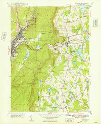
Editions of this 1948 Waymart Map
2 editions found
Other maps of this area

1889 · Scranton
USGS Topo · 1:62,500

1891 · Scranton
USGS Topo · 1:62,500

1892 · Honesdale
USGS Topo · 1:62,500

1892 · Dundaff
USGS Topo · 1:62,500

1893 · Scranton
USGS Topo · 1:62,500

1928 · Ariel
USGS Topo · 1:62,500

1932 · Ariel
USGS Topo · 1:62,500

1943 · Scranton
USGS Topo · 1:125,000

1943 · Honesdale
USGS Topo · 1:125,000

1946 · Olyphant
USGS Topo · 1:24,000