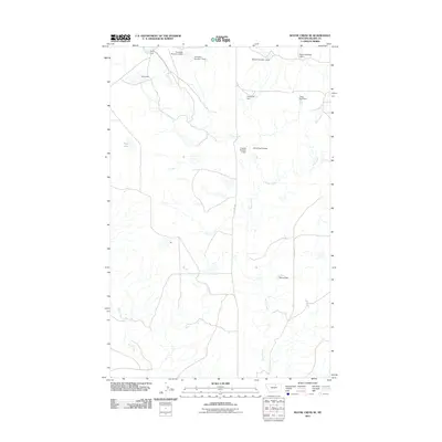
2011 Map of Wayne Creek SE
USGS Topo · Published 2011About this map
Wayne Creek and its surrounding drainage systems define this section of Blaine County, Montana, where a complex network of small reservoirs and earthen dams manages the prairie's intermittent water flow. The landscape is marked by the presence of numerous family-named or descriptively titled impoundments such as Terry Dam, Sam Dam, and the uniquely named Hungover Dam. These features, along with Transistor Number 1 Dam and Grabtak Number 2 Dam, illustrate the critical importance of water conservation for ranching and livestock in this arid region.
Find a feature on this map
17 named features on this map. Tap any name to fly to it.
Don’t see what you’re looking for? This feature index may not catch every label — zoom into the map to look around manually.
Map Details
Editions of this 2011 Wayne Creek SE Map
This is the sole edition of this map. No revisions or reprints were ever made.
Other maps of this area

1903 · Wayne Creek
USGS Topo · 1:62,500

1905 · Wayne Creek
USGS Topo · 1:62,500

1913 · Cherry Ridge
USGS Topo · 1:125,000

1920 · Avery
USGS Topo · 1:125,000

1953 · Havre
USGS Topo · 1:250,000

1957 · Havre
USGS Topo · 1:250,000

1958 · Havre
USGS Topo · 1:250,000

1964 · Threemile Reservoir
USGS Topo · 1:24,000

1964 · Wayne Creek SE
USGS Topo · 1:24,000

1964 · Coburg
USGS Topo · 1:24,000