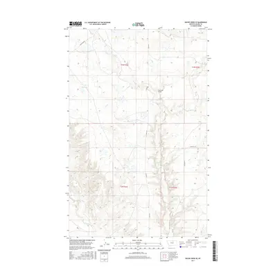
2017 Map of Wayne Creek SE
USGS Topo · Published 2017About this map
Lone Tree Coulee and the surrounding high plains of Blaine County define this landscape, where early settlement patterns are still visible through a sparse network of prairie roads and trails. The drainage system is dominated by seasonal watercourses like Savoy Cr and Black Cr, which carve through the terrain as they move toward larger basins. To the west, the basin of Mud Lake sits near the junction of Wayne Creek Rd. This 2017 survey by the U.S. Geological Survey reflects a region where the land remains largely agricultural or open range, marked by the long reaches of Homestead Trl and Old Savoy Rd. These named routes follow the section lines of the Public Land Survey System, tracing the historic movement of families and ranchers across north-central Montana.
Find a feature on this map
14 named features on this map. Tap any name to fly to it.
Don’t see what you’re looking for? This feature index may not catch every label — zoom into the map to look around manually.
Map Details
Editions of this 2017 Wayne Creek SE Map
This is the sole edition of this map. No revisions or reprints were ever made.
Other maps of this area

1903 · Wayne Creek
USGS Topo · 1:62,500

1905 · Wayne Creek
USGS Topo · 1:62,500

1913 · Cherry Ridge
USGS Topo · 1:125,000

1920 · Avery
USGS Topo · 1:125,000

1953 · Havre
USGS Topo · 1:250,000

1957 · Havre
USGS Topo · 1:250,000

1958 · Havre
USGS Topo · 1:250,000

1964 · Threemile Reservoir
USGS Topo · 1:24,000

1964 · Wayne Creek SE
USGS Topo · 1:24,000

1964 · Coburg
USGS Topo · 1:24,000