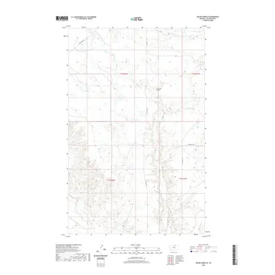
2020 Map of Wayne Creek SE
USGS Topo · Published 2020About this map
Savoy Cr and its tributaries define this pocket of Blaine County, where the high plains are carved by drainages like Lone Tree Coulee and Black Creek. The landscape transition from the flatter northern sections down into the breaks of the southern reaches is marked by seasonal water features, including Mud Lake. This area reflects a classic Montana ranching and homesteading pattern, where a thin network of local roads such as Old Savoy Rd and Wayne Creek Rd follow the natural contours of the land. Historically minded researchers can trace the original Public Land Survey System township boundaries, including t33n r24e and t32n r25e, which provide a reliable grid for locating ancestral land claims near the headwaters of Wayne Creek.
Find a feature on this map
14 named features on this map. Tap any name to fly to it.
Don’t see what you’re looking for? This feature index may not catch every label — zoom into the map to look around manually.
Map Details
Editions of this 2020 Wayne Creek SE Map
This is the sole edition of this map. No revisions or reprints were ever made.
Other maps of this area

1903 · Wayne Creek
USGS Topo · 1:62,500

1905 · Wayne Creek
USGS Topo · 1:62,500

1913 · Cherry Ridge
USGS Topo · 1:125,000

1920 · Avery
USGS Topo · 1:125,000

1953 · Havre
USGS Topo · 1:250,000

1957 · Havre
USGS Topo · 1:250,000

1958 · Havre
USGS Topo · 1:250,000

1964 · Threemile Reservoir
USGS Topo · 1:24,000

1964 · Wayne Creek SE
USGS Topo · 1:24,000

1964 · Coburg
USGS Topo · 1:24,000