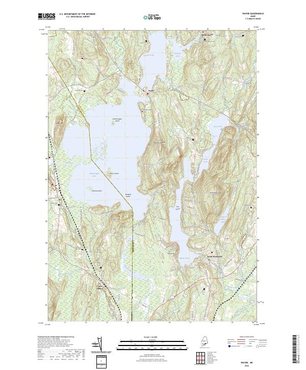
2024 Map of Wayne
USGS Topo · Published 2024About this map
Androscoggin Lake dominates the central landscape of this Kennebec County quadrangle, its waters dotted with significant landforms such as Androscoggin Island, Norris Island, and Lothrop Island. The settlement of Wayne serves as a focal point along the northern shores, nestled between the larger lake and Pocasset Lake. This 2024 survey captures a region deeply connected to its glacial hydrology, where elevated terrain like Morrison Heights and Hedgehog Hill rise above a network of ponds including Berry Pond, Dexter Pond, and Wilson Pond.
Find a feature on this map
134 named features on this map. Tap any name to fly to it.
Don’t see what you’re looking for? This feature index may not catch every label — zoom into the map to look around manually.
Map Details
Editions of this 2024 Wayne Map
This is the sole edition of this map. No revisions or reprints were ever made.
Other maps of this area

1892 · Gardiner
USGS Topo · 1:62,500

1892 · Augusta
USGS Topo · 1:62,500

1908 · Lewiston
USGS Topo · 1:62,500

1910 · Livermore
USGS Topo · 1:62,500

1912 · Livermore
USGS Topo · 1:62,500

1941 · Livermore
USGS Topo · 1:62,500

1941 · Augusta
USGS Topo · 1:62,500

1942 · Lewiston
USGS Topo · 1:62,500

1943 · Augusta
USGS Topo · 1:62,500

1943 · Gardiner
USGS Topo · 1:62,500